Upper Rivington Reservoir
Upper Rivington Reservoir is one in a chain of three that were built between 1850 and 1857 to supply water to Liverpool, though I think nowadays it supplies Wigan, lying between Lower Rivington Reservoir and Anglezarke Reservoir, which I walked round last summer. At first glance they seem to be strung along a single valley, but in fact the chain spans three separate valleys, with all the water heading for the River Yarrow being diverted south.
To these three, the nearby Yarrow Reservoir was later added, and also the more distant Roddlesworth Reservoirs, capturing water bound for the River Darwen, and sending it to Anglezarke via the Goit.
Our walk took us round Upper Rivington Reservoir, but also past Yarrow, Lower Rivington and Anglezarke, and started from Anglezarke Reservoir car park. Coming out of the car park at the car exit we walked a short way along Moor Road, then up the steep Parson's Bullough Road, turning right where it levels out, to walk across the dam on the Yarrow Reservoir.
This is the view from the dam, looking southeast, up the reservoir.

The outflow from the reservoir is, I guess, what would now be the River Yarrow, and flows into Anglezarke Reservoir. I crossed the bridge at the bottom when I visited in June, and the water course was bone dry.

The path slopes gently down to Upper Rivington Reservoir, with views of Rivington Pike on the left. On the horizon you can just see Rivington Pike Tower at the highest point, and Pigeon Tower a little to the left.
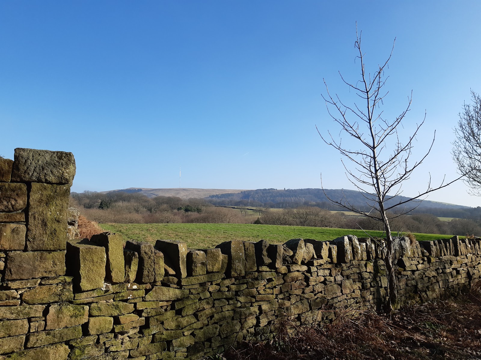
Then we are walking along side the reservoir.

The upper and lower reservoirs are separated by an embankment; it is dubious if this even counts as a dam. I guess it is useful for water management - you can empty one or the other for maintenance as required. This is the view from the embankment looking (I think) down the lower reservoir.

Turning right, the path is set back a bit from the reservoir.

This is the River Yarrow - now reduced to just an overflow. From here it flows - when it does flow - to Croston, where it joins the Douglas, which in turn flows into the Ribble Estuary.

The path rises, passing what looking like a small manor house, strangely call "The Street", up to the level of the Anglezark dam. The image below is outflow of Anglezarke, the water on its way to Upper Rivington.

And that brings us to the last of the reservoirs, Anglezarke itself. This is from the east side, a little beyond the carpark, looking back towards the dam.


Comments
Post a Comment