Bacup
So soon after I visited Colne, I found myself comparing the two, and to be honest Colne wins; it felt more "happening" and lively, while Bacup had three buildings in such a poor state they had no roof - a lot for such a small place. And while Colne had some odd parkig rules, it did have plety of parking. Bacup has two small car parks (from Google), no signs to indicate where they are. Where Bacup did win was traffic. Being at the end of the M65, Colne has a lot of traffic. I visited Bacup on a Wednesday afternoon, and the roads were surprisingly quiet.
The centre is where the A681 from Rochdale to Burnley crosses the A671 from Rawtenstall to Todmorden.
Bacup is, of course, another mill town that flourished in Victorian times, and the town architecture reflects that, but as you can see in the image above is does have some Art Deco buildings. I like that the current business has embraced the style and the shop sign is also in an Art Deco style.
The fine building on the left was the King George Hotel. The clocktower is directly over the culverted River Irwell, which flows south to Manchester.
The road to the left is the one to Burnley, and we will head that way, past the other Art Deco building, the old cinema. This was more recently a bingo hall, and now stands derelict.
On the other side of the road is the war memorial.
On the right-hand side of the road is the old Sunday School, now used by a scout group.
The river is visible behind the building just before it disappears underground.
Looking now at the Todmorden road, I did not venture far that way, but the Bacup museum is down there.
And looking back towards the centre, you can see the "Little Queens" pub. Does this refer to one little queen in the possessive, or several of them? The sign depicts Queen Victoria, suggesting the former, but hard to imagine it was called that in Victoria's reign. I suppose I should have asked at the museum.
So that brings us to the Ramsbottom road. The river runs underneath the bus stops, and then under the road, possibly where the four shops with low rooves are on the right.
Further along, on the left, is Pioneer Building, recently renovated, and originally built 1910 to 1914, a branch of the Rochdale Society of Equitable Pioneers, i.e., the Co-op.
On the other side of the road, the New Inn pub does not look that new to me!
The road slopes upwards noticeably; this is the view looking back down the hill.
The Ramsbottom road is not far from the Rawtenstall Road at this point; they run down two sides of the valley. A set of steps takes you down to the river.
Not far to the south on the Rawtenstall road is the Swan. According to Google maps this is now an Indian restaurant, though I could see no sigh of that.
Down the road to the left of the Swan was Bacup station. This was a terminus, with one line to Rawtenstall, Ramsbottom and Bury (from 1852) and another to Rochdale (from 1881). It closed in 1966, and all that remains today is a wall and the entrance to the goods yard. The station was where the big white building is.
Heading back to the centre, on the left, is Trinity Baptist Church. The ground floor is a row of shops, an arrangement I have never seen before.
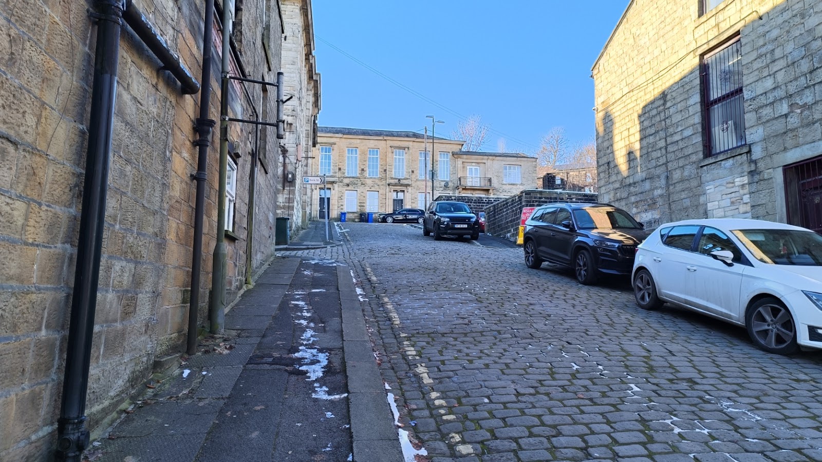
And looking up Bank Street - still cobbled - we see the old police station. This is famous as Hartley police station from the BBC drama Juliet Bravo, and indeed is on Google Maps under that name.
The only hint that this was ever a police station at all is some markings on the road opposite saying the parking is for police vehicles only - and you need to use your imagination to see that.
The building to the left is the old market, now in a very sorry state. If it looks lit up, that is the sun behind, coming through where the roof used to be.
The road turns to go along the front of the police station, then twists to run behind it as it ascends the side of the valley. This is the view as it goes beside the police station.
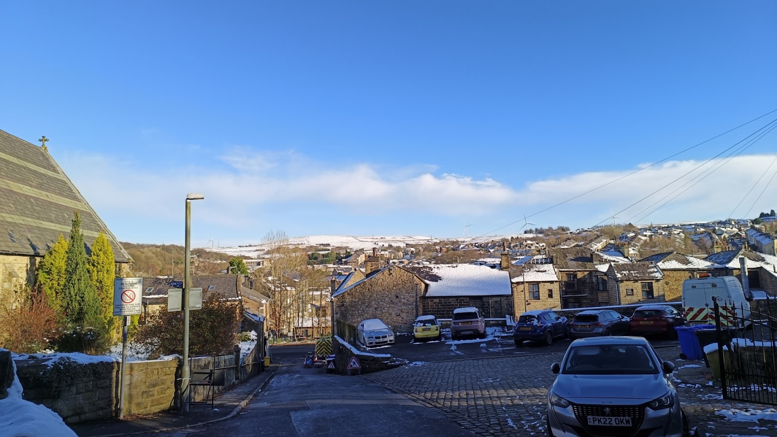
As you will have noticed, there was a fair bit of snow on the ground, and I stopped at a couple places north of Bacup to take pictures of the snow-covered hills.












Comments
Post a Comment