Croston
Croston is a delightful village about 5 miles south-southwest of Preston.

If the church looks crooked in the image above, that was how it looked to me at the time. Croston actually means Town of the Cross, and the original cross supposedly was planted hereabouts by a monk in AD 644.
According to Wiki, the parish of Croston once included many of the nearby villages and towns, including Chorley until 1793; today these are all independent and Croston has declined in importance, but this has left much of the town unchanged.

The pack horse bridge dates to the 15th century, and crosses the River Yarrow.

Croston is on the line between Preston and Liverpool, which opened in 1849, and used to see express trains going all the way to Glasgow. However, it narrowly avoided closure in 1969.
Today the line is single track to Ormskirk, and trains can go no further, though passengers can change to the electrified Mersey Rail service at that station.

Having explored Croston itself, I took a walk to the west of the village, in part to see the end of the River Lostock, which has featured in many other posts. For once, I was accompanied on my walk by both friends and family members. It was not without incident...
We headed north out of the village, passed the railway, over the River Lostock, then turned left to walk along the dyke on the north side of the river. This is the view from the bridge; the dyke can be seen to the right.

The land is very flat here, and susceptible to flooding. Croston was flooded in 2015, but defences were put in place by 2017, for £7m, and seem to have been successful.
The River Lostock flows into the Yarrow.
And shortly after the Yarrow flows into the Douglas, at which point the dyke abruptly turns to the north.
This is looking back - the dyke beside the Lostock is to the right, with the Pennines in the background, Winter Hill to the left of the right pylon.

It is then a fairly short walk north on the dyke to the bizarrely named Eyes Lane, and a bridge over the river. A rather temporary affair!

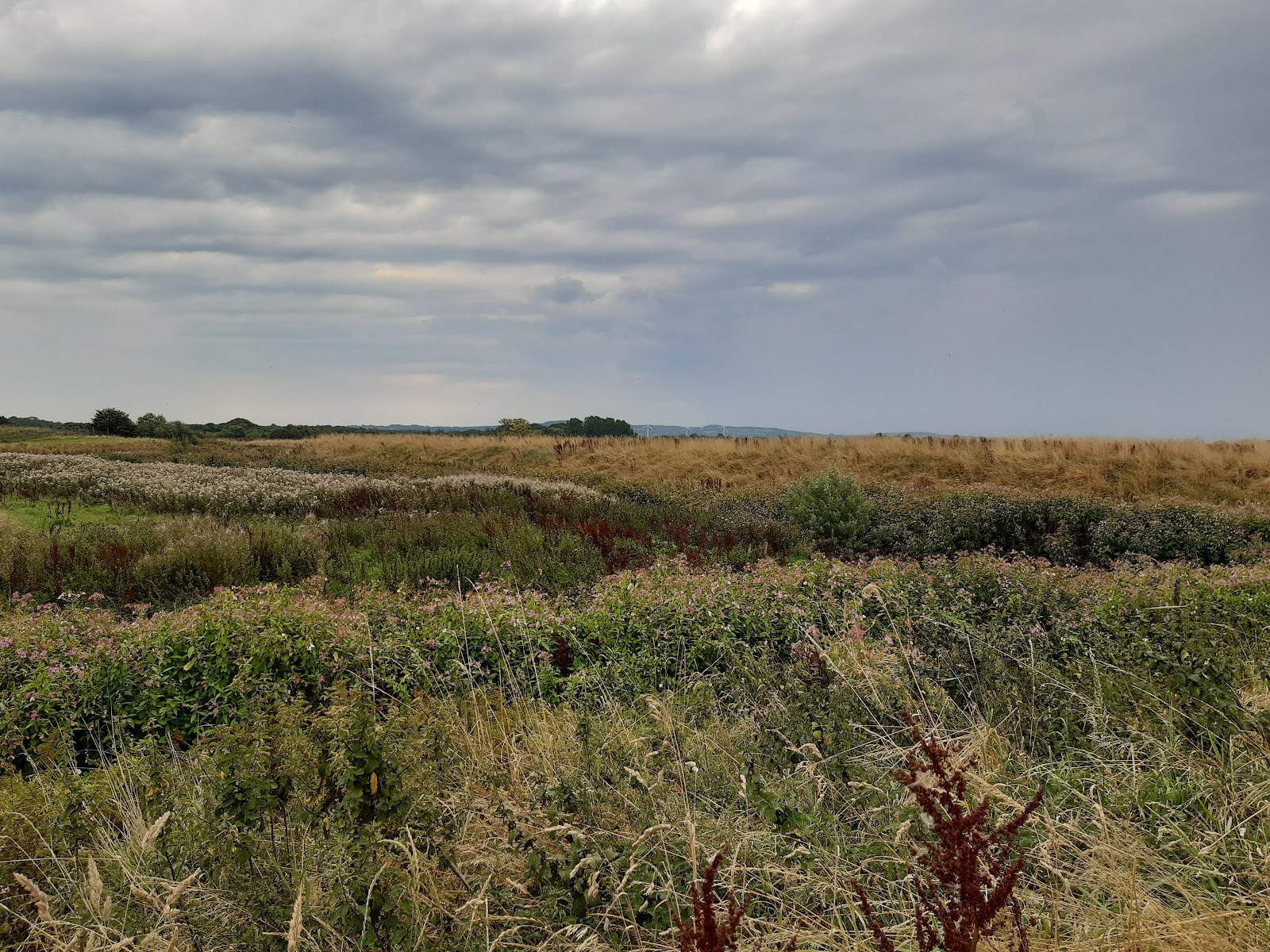
From here we headed south, again along the dyke, on the west side of the River Douglas, This was not a good path; it was heavily over-grown and two of our party were attacked by stinging nettles.

However, there was a (relatively) good view of the Yarrow as it joins the Douglas.

After getting on for 500 m of slogging through the growth, we arrived at a small pumping station, and from here onwards it was rather easier.

It was not far to the A581 - the bridge in the image above - which allowed us to cross over the river, heading back towards Croston. The intention was to follow a foot path that leaves the road about 100 m along on the right. While there was a gateway and a sign indicating a footpath, there was no way through the maize.
We went on a little further, to a bridge over a ditch, dedicated to the memory of a US pilot from WW2.

At this point we split into two parties, the more adventurous trying to get through beside the ditch, while the rest continuing along the road, not convinced the other route would actually go anyway.
Oh, the irony.

The A581 was closed at the railway bridge, with no pedestrian access.
Meanwhile, those of us who had risked the footpath had a narrow trek between maize and barbed wire, but then a decent footbridge over the ditch, and a good path into the village. We even met another walker.
I was then able to pick up the others in my car (a sixteen or so mile trip round trip with the road closed). We did all get to the village in time for lunch!

The Wheatsheaf is one of several attractive pubs in the village, but the only one open Monday lunchtimes. It did an excellent and much-needed steak and ale pie.


Comments
Post a Comment