Roddlesworth Reservoirs
This is another official walk; the route can be found here. I am not sure I quite followed the route at the far end - I followed something of a forest trail, figuring if I kept close to the lake I could not get lost. I suspect the official route is a little longer, following better paths. However, it is not signposted, so...
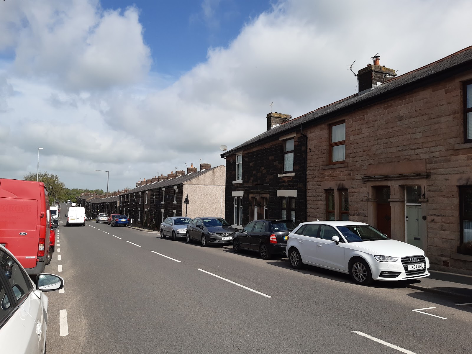
It starts from the village of Abbey, where you can park on Dole Lane. The village may be so named because it was on a route from Brinscall to Whalley Abbey, or so Wiki tells me. It is very much strung out along the one road, with a long row of terraced houses on the east side, built of black stone - or possibly dirty stone? As you can see from the image, a few are built of pale stone, and it may be these are the ones that have been cleaned. That would still indicate a type of stone that dirty sticks to, as this is not a usual sight in the area.
The walk heads off from there, going past Rake Brook Reservoir. This was built in 1850 to help maintain a supply of water to rivers through Rivington, rather than to supply a city. Water is fed via the delightfully name "Goit" to Anglezarke. Much of it is covered, but you can see the first section here, just before it goes under the road.
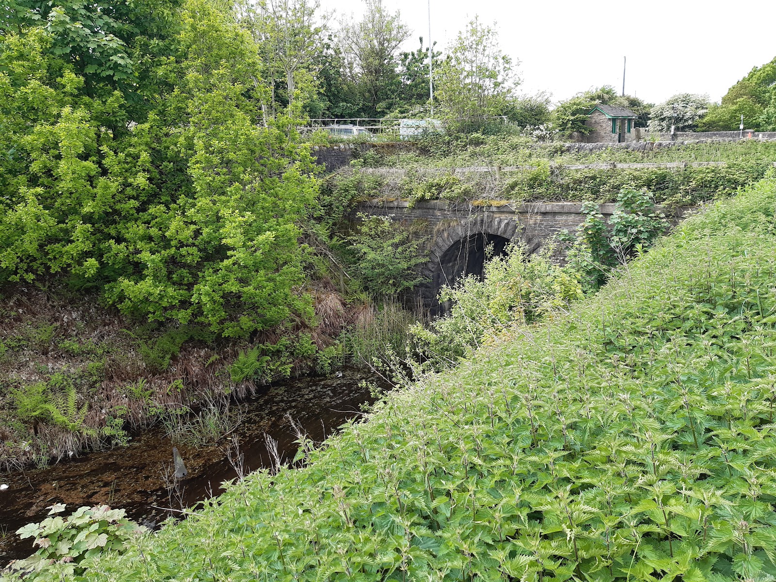
At one time the Goit was open as far as Withnell, when it was culverted for a way; for some reason the culvert has been extended to here.
The other two reservoirs are on the river Roddlesworth, which I previously encountered when in Feniscoles. They serve the same purpose - compensating for the water removed at Rivington to supply Liverpool.

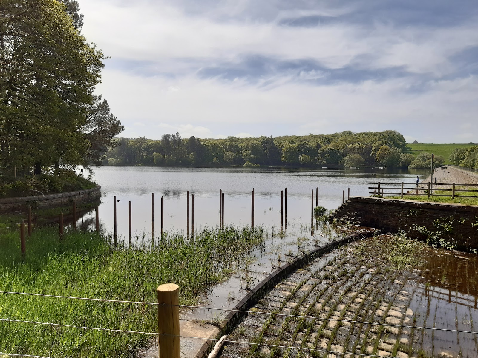
The line at the top has water just beyond it, so this will be an overflow. Is there another outlet somewhere? Or is it just supplied by tributaries further down stream? I do not know.

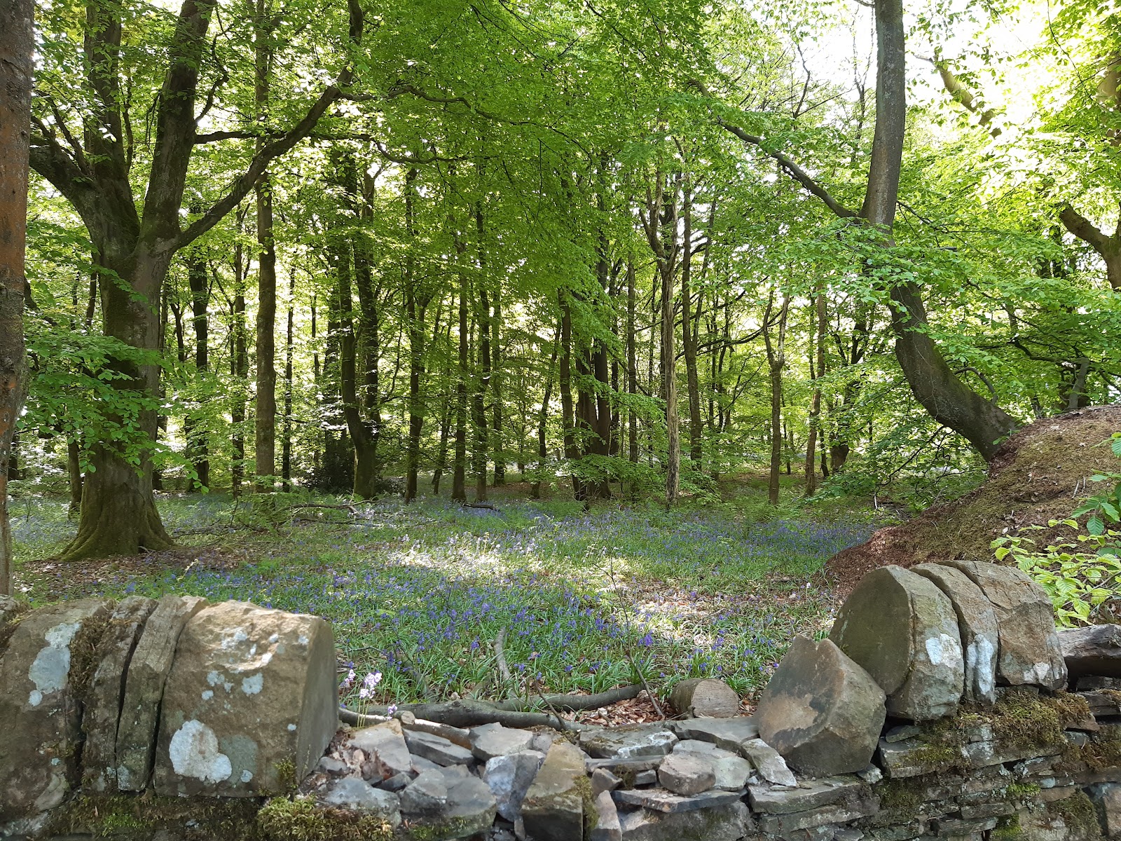
Inevitably, there is a bit of a hill up to the upper reservoir. This is the dam, note again the bluebells.
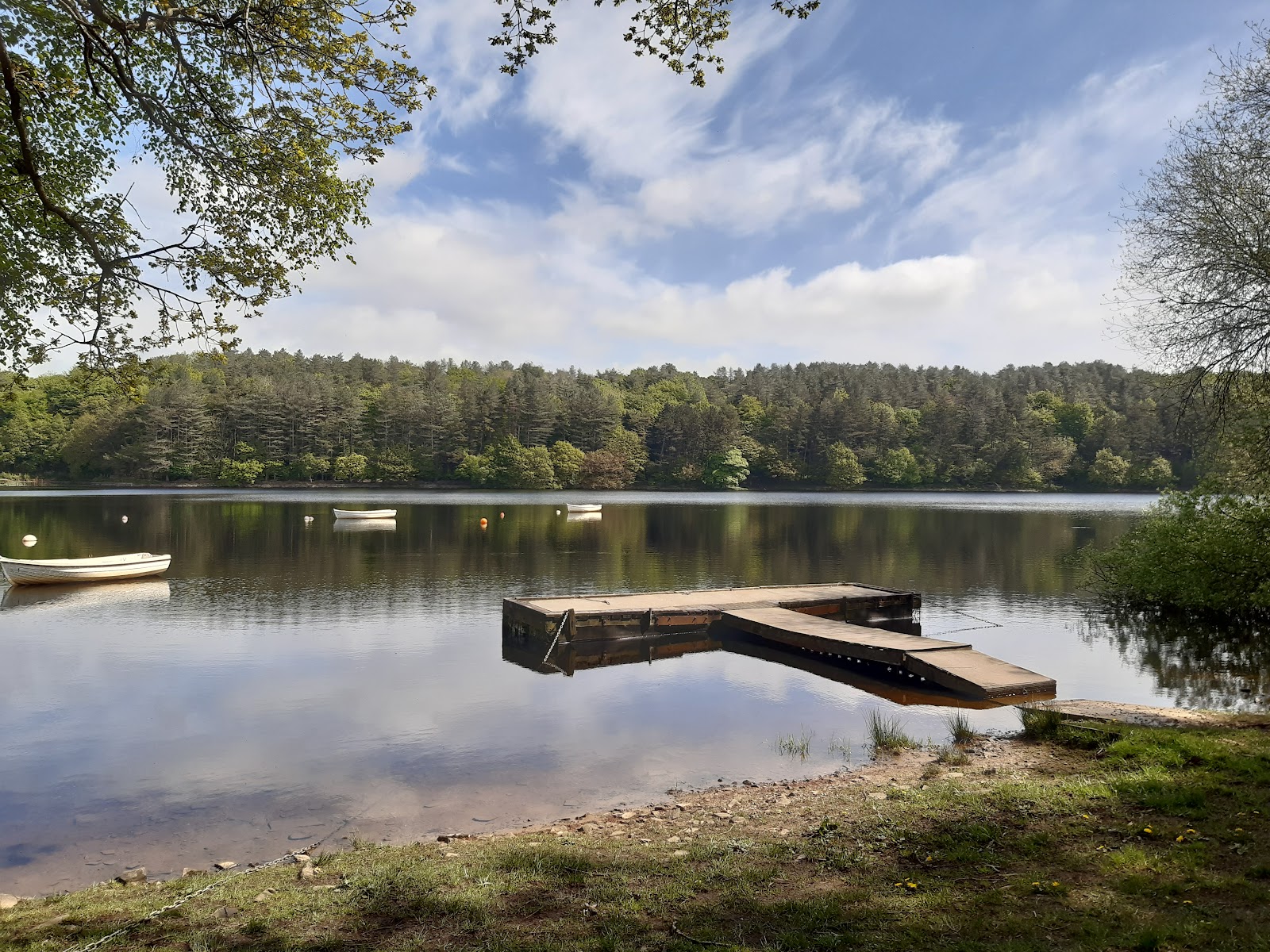
There are a few boats on it - for fishing, which seems to be a big deal here. They do add a little something to the photo.
There was an orienteering event going on while I was there, with several people running around looking for things like this:

The black box on top seems to connect to the competitors' phones to either confirm they were there, or send them to the next point. I swear one guy went past me three times....


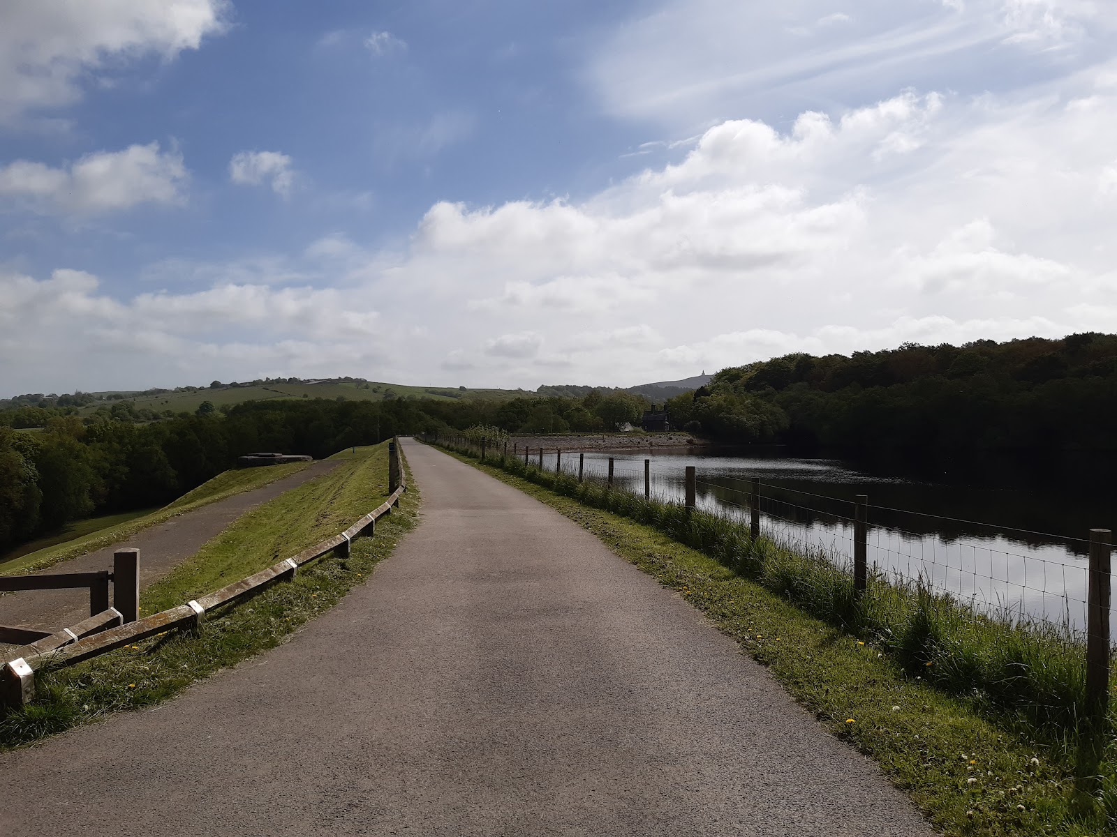
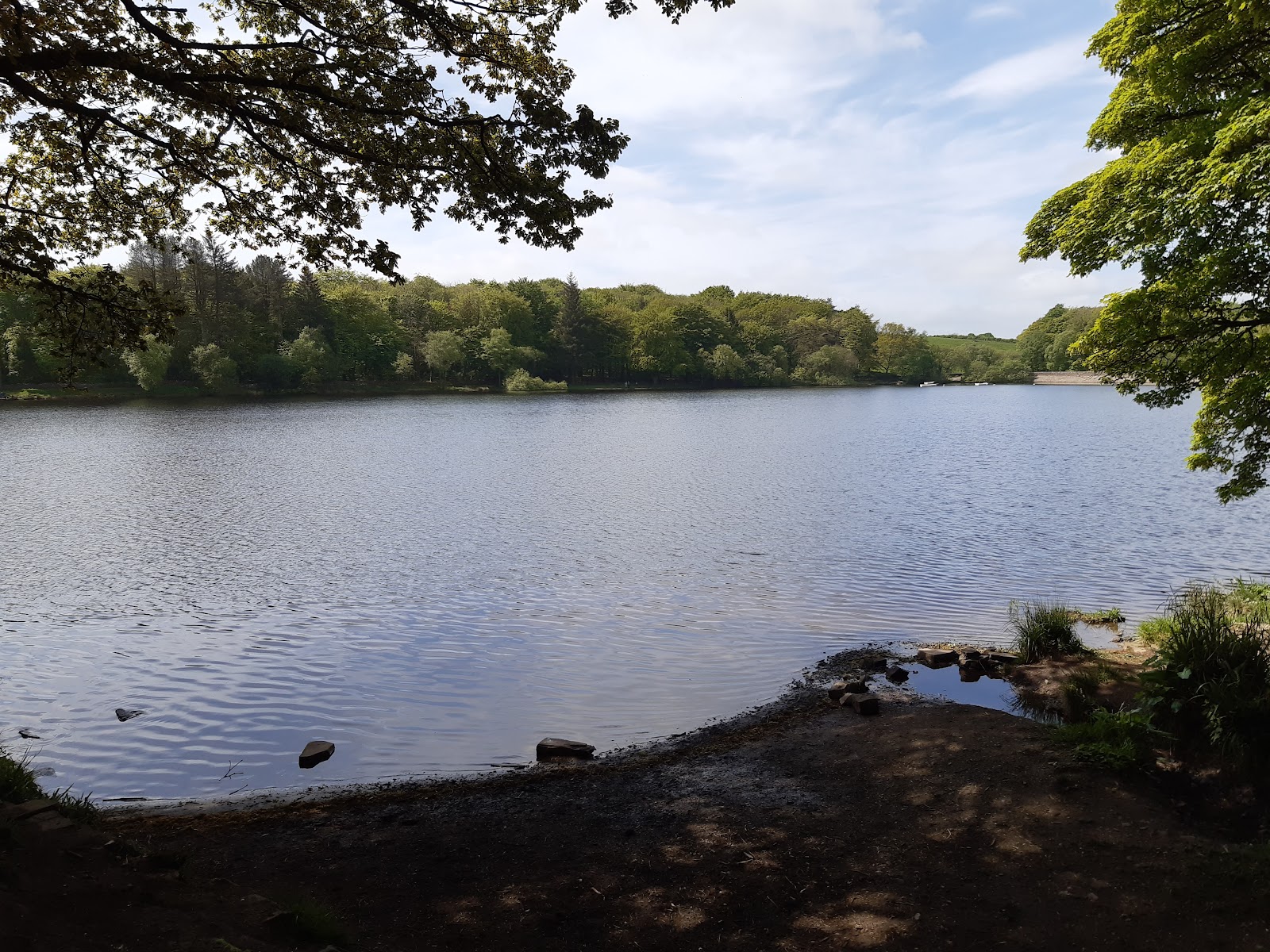
Better view of the reservoirs this way.
Even in portrait...

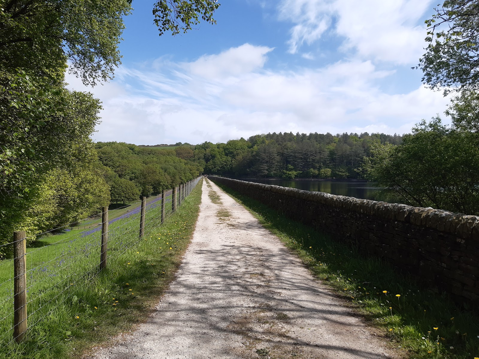
This is the other end of the damn, and you can see the same overflow construction as before for the lower reservoir.
Back down to the lower reservoir, and walking across the damn, looking back. You can see Darwen Jubilee Tower on the horizon. From here, I was retracing my steps back.

It was a great walk; a little over a hour with mostly gentle slopes, and very pleasant surroundings.


Comments
Post a Comment