Darwen Tower
My daugher used to play for Blackburn Rovers girls team, and trained in Darwen. I always wanted to visit the tower, but did not think I had the time to get there and back before she finished. Today I finally realised my dream!
This is an official walk, Darwen Tower Walk 2, and a leaflet can be found here. The leaflet claims it is 2 miles; I think it is about twice that. And the steps..? But we will come to that later.
It starts from a car park in Sunnyhurst, a village on the west edge of Darwen, which is itself some way up the hill. The road up to it is interesting, with a variety of odd houses. The car park is small, and, while it was okay reasonable early on a Saturday in May, I can imagine it gets very busy sometimes.
The route starts by turning right out of the car park. There is not a lot to see for a short stretch as the trees obscure the view, but then they stop and you get the first view across valley... and alpacas.
The road continues for, I guess, a mile and a half, gently curving to the left as it rises higher, giving great views over the valley, at first looking down on Blackburn...
And later Preston.
And, looking the other way, the tower itself.
There were about four lapwings flying over this field, and two of them are visible in this photo; admittedly, not as anything more than a speck. There was also something, a bird I guess, making strange noises like an eighties video game.
The road, or track at the point, turns right to cross a narrow valley, while the walk... well, this is what the leaflet says:
Carry on along the track until it bears to the right. Here climb the stile on the left by the farm gate. Bear immediately left and climb the steps up the hillside.
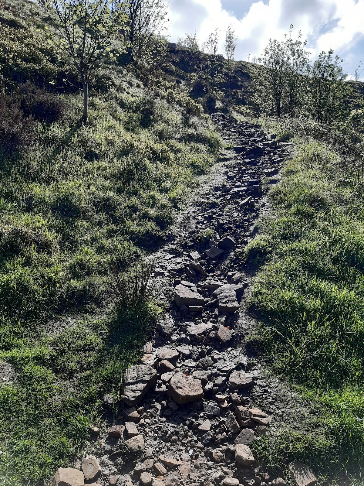
These are the "steps":
Not what I would call steps, and as I ascended them, I was increasingly sure this was a riverbed, until I found bench at the top. This is a steep climb, and, in my view, an unsafe descent!
This is the view looking back, with Preston in the distance.
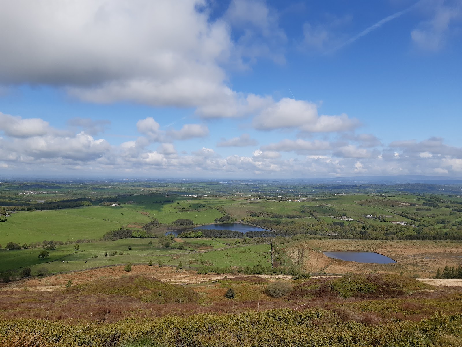
Up on the hill, and we start heading back to the start. It is very much moorland up here. This view is looking down over the route I had been on earlier.
The water in the middle is Earnsdale reservoir, constructed 1854 or 1863 (sources vary) to serve Darwen. To the right and nearer is Sunnyhurst Hey reservoir, built in 1875. Both had severe safety issues; they were resolved for the former, but not the latter (see here). While neither is used today, only Earnsdale reservoir still has water in it.
So at last we get to the tower... And it was covered in scaffolding.
Because of its position, it takes quite a battering from the elements, and so is under repair to get it ready for an event to celebrate the Queens Jubilee. This is significant because the tower was originally built in part to celebrate the Jubilee of Queen Victoria, and its official name is actually Jubilee Tower.
The local land owner had decided to deny the ancient rights of way across the moor in the 1870s, and the tower also celebrated the re-opening of the moor to the public after a legal battle concluded in 1896.
This, then, is the view from the base of the tower, looking southeast, with Darwen visible to the left.
This is a better view of Darwen, further down the path.
The (relatively) large triangular building just left and below centre is Darwen Aldridge Community Academy, when my daughter trained with Rovers, and the hill above that, and a little to the right is Blacksnape, where she played the matches for one year.
The large chimney to the right of centre is India Mill Chimney, probably the most notable landmark in Darwen. You cannot see from the photo, but it is actually very ornate, built to resemble an Italian bell tower, in 1867 (details here).
The path continues down the hill, eventually emerging in Sunnyhurst opposite the pub.
The carpark is to the left, after the lychgate. I think this was actually the entrance to the estate, rather than a real lychgate (i.e., a gate for the coffin to be brought through).


Comments
Post a Comment