Chorley
Chorley is the next town of any size heading south from Preston on the A6. It is maybe a fifth the size of Preston in terms of population, and to be honest does not have much to recommend it in the town centre from an architectural point of view.
Market Street is the main shopping road, running south to north. This would have been the A6 at one time, but the A6 now runs east of the centre, besides the railway, over a string of roundabouts.
There is a River Chor, but the river takes its name from the town, rather than the other way around. The principle river in the Yarrow, which skirts the south of the town, and I never actually saw it. I suspect it is very much reduced, with most of its water going to Anglezark reservoir, and hence to Wigan.
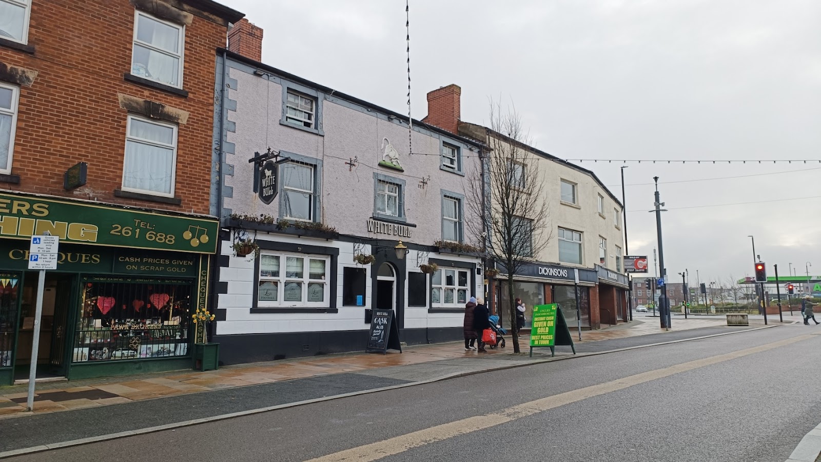
So this is the south end of Market Street, and the White Bull pub.
And a bit further up in the Lamplighter. The brickwork looks brand new, but apparently one of Chorley's oldest pubs.

On the other side is Pearsons. Beyond this the road is semi-pedestrianised - and closed to vehicles when the market is on. No market when I was there, but it was when Google Street View visited.

We will turn right here, down St George's Street; this is the view of the northside, looking back, the most attractive houses I came across.

At the end of the road is St George's Church. This view is again looking back, so the house at the near end of the row above is on the right in the image below.

To the right of the photo is the Crown.

Heading down that road on the right of the Crown, towards Market Street, we turn early into New Market Street, and past the indoor market. Closed when I was there, and nothing to recommend it from the exterior. Further a long is the Prince of Wales, which was blasting out very old music.

At the top of New Mark is the Wetherspoons, named Sir Henry Tate, who was born in nearby White Coppice. He established the Tate Gallery, and a sugar refining company that, following a merger, became Tate and Lyle.

I admire Wetherspoons pubs in that they either use a historic building, and do so in a sympathetic manner, or they go the opposite way, with something modern and distinctive as is the case here.
Just beyond the Wetherspoons in the Flat Iron car park which is where I parked, notable only for being the site of the cattle market, but does lead us to the Flat Iron pub.

This brings us back to Market Street, and a rather fancy gateway leading up to St Mary's RC Church.


And that is more-or-less behind the town hall, which has a tall tower, but otherwise is rather ordinary.

Is it just me, or is it like the one in Trumpton?
Continuing north, St Lawence's Church is on the right.

Chorley's greatest feature is Astley Park, on the left, as we continue on this road. These are the gates.

It was not a great day when I visited; I would like to return and get some photos in the sunshine.

At the far end of the part is Astley Hall, which was donated to the town corporation after WW1, and stands across the small lake. I think the river Chor runs through the lake.

The building dates from around 1570 onwards, and features a frontage with a lot of windows for its time. It is open at weekends - I only discovered this after I visited on a Wednesday.


I found the chimneys delightful too. Quite a mishmash of styles.

The outbuildings.

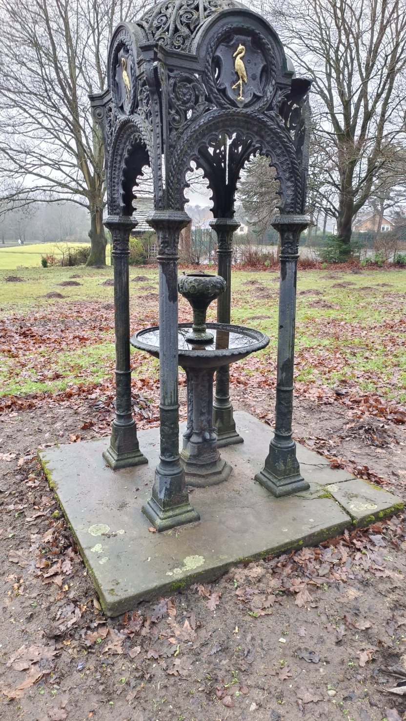
There is a drinking fountain, which is notable for being the same as the one in Haslam Park, Preston. Apparently they used to be ordered from a catalogue. This is drinking fountain number 8 from Walter Macfarlane’s catalogue.
The south entrance has a nice lodge. The chimneys have the same ornamentation as the hall.


Comments
Post a Comment