Heapey and White Coppice
This is just southwest of where I was last week, and in fact the walk uses the same bridge, but we will get to that later.
I started from the site of Heapey Bleach Works. I had assumed a bleach works was where bleach was manufactured, but it turns out to be where cloth is bleached. It opened in 1885 (or 1895?), and was at one time the biggest in Europe, employing 300 people, an getting through 4 million gallons of water a day (according to here). Much of it was destroyed in a fire in 1944, but it struggled on for a while, possibly closing in 1953.
Today, the site is a rather nice housing estate, and no hint of the works itself remains. However, it was served by a railway and reservoirs; the reservoirs are still there and evidence of the railway too.

This is the bridge abutment where the railway crossed the road before entering the factory site. No sign of it on the other side of the road. From here, the railway passed between two reservoirs, before joining the line from Chorley to Cherry Tree, which has been mentioned in at least two previous posts.
It does not seem to be possible to walk along the route of the railway; my route took me along side the second reservoir.

Getting towards the top of the reservoir, note the horses having a drink.


And looking the other way.

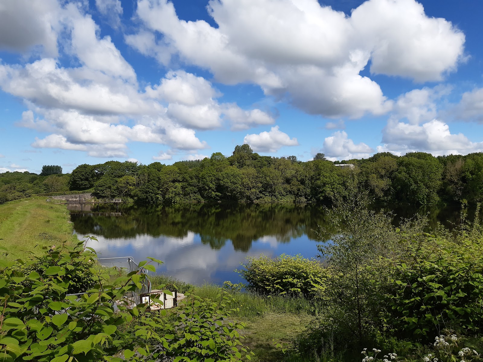
White Coppice has its own reservoir, suggesting there was a mill here, but it is not apparent on old maps. I like the reflections in this image.

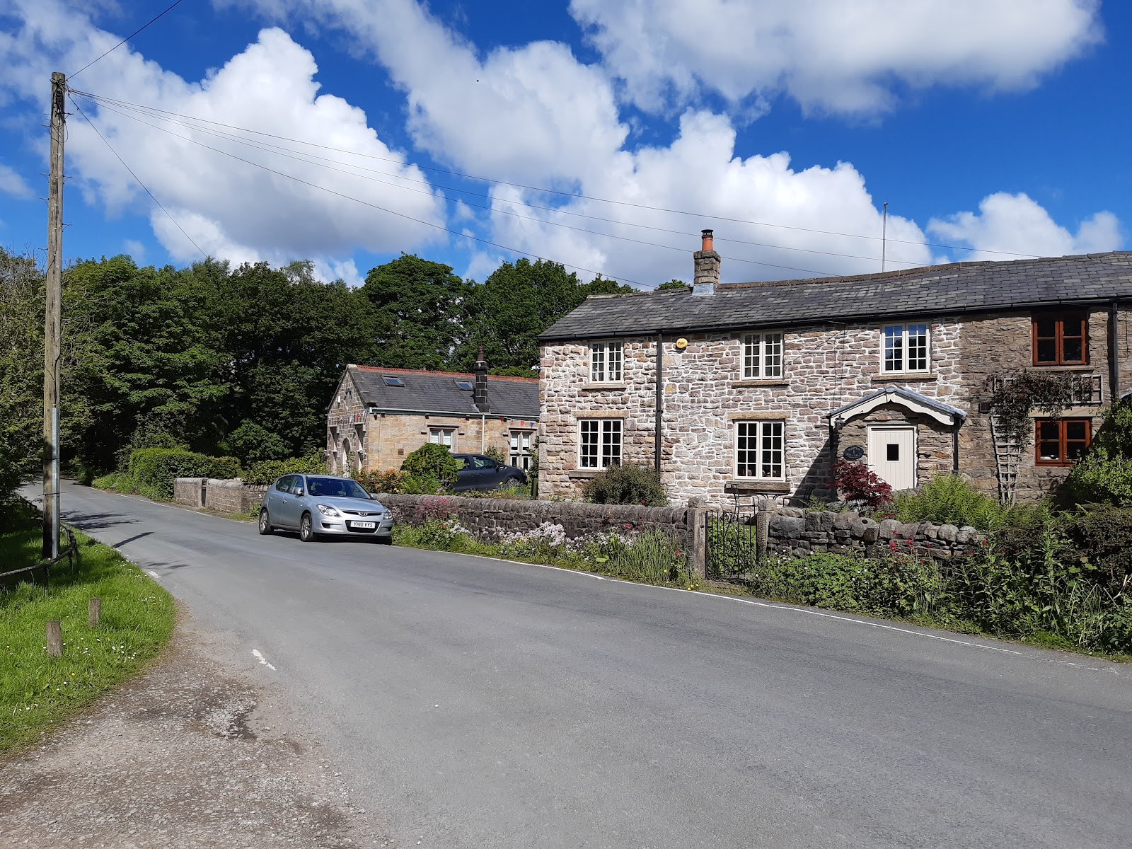
The second set of houses is just beyond that, next to the cricket pitch. I have a feeling cricket is the village "industry"; people have heard of White Coppice because of the cricket club, and I guess travel from outside it to watch - and indeed play; I am doubtful the population is big enough to make a whole team!

Beyond the cricket pitch, to the right of the two houses, there was another reservoir, but it is now dry.

It is possible to walk beside the Goit, but I thought the more interesting route is the path that skirts the moorlands. It is curious how abruptly the land changes.

The path is quite uneven...

Back to the Goit, and this is the bridge I crossed at the southern end of my walk last week.

I headed vaguely westwards on Trigg Lane. This zebra is a little suspicious...

Trigg Lane crosses the old railway, but there is no good photo opportunity. I followed the lanes back towards to Heapey. This road sign made me think of the old kids' show Wheelton and the Chorley's...


This road took me back to the top of the second reservoir, and so completed my route.


Comments
Post a Comment