Helmshore
Helmshore is a village 16 miles north of Manchester that flourished in the industrial revolution.
The original village, and its numerous mills, was strung out along the valley of Ogden River, and what we will start at the pub at the bottom of the valley and walk up the road to the pub at the top, then come back down again along the old railway.
So here is the Cotton House, its name a tribute to the local industry. Despite how it looks, I think it is open; there was a smell of food.

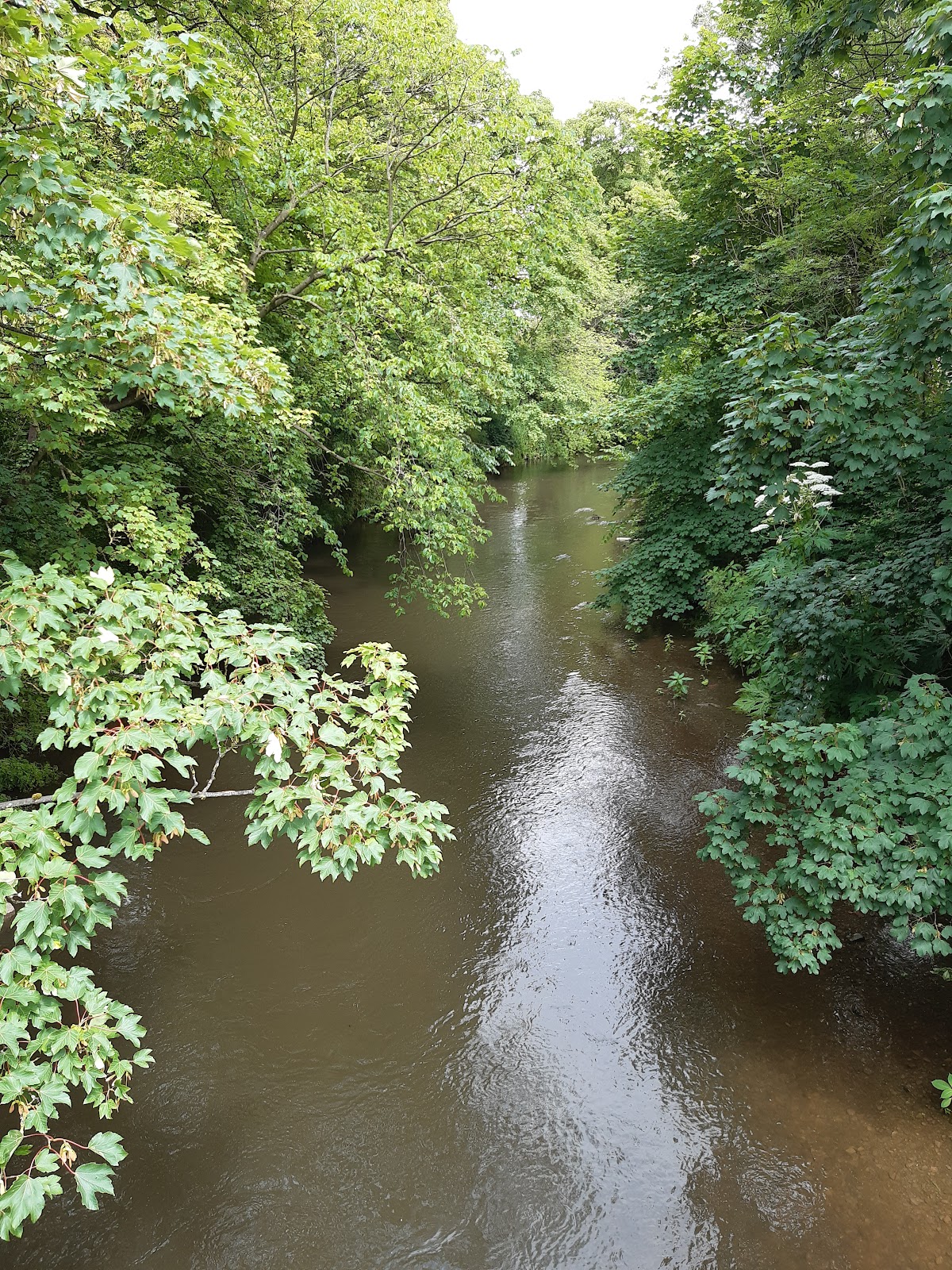
It stands on the west bank of the river. This is the view upstream. Going the other way, the river joins the Irwell less than a mile to the south.

Station Road runs along the east bank. We will get to the station later, here we will just note that it was never on Station Road. Half way along, Station Road jumps over to the west side of the river.

Station Road rises up to meet Holcombe Road, and for a short distance they run parallel, with just a wall between them. In this photo, the white car in the centre is parked on Holcombe Road.

About opposite where the two roads join, I think this was a Wesleyan Chapel, with Sunday school on the right.

Attractive terrace on the other side of the road.

The first extant mill is Middle Mill.

Set back a bit, I think this was part of Sunny Bank Mill, and is a little more attractive.

And this, I think, is the back of Park Mill. The walkway round the water tank still has the handrails in place - but no floor.

The front of Park Mill.

Higher Mill is now a museum. It closed as a mill in the sixties, and the owner had done precious little to modernise, and so was ideal for preservation!

I joined a tour, and for £5, I have to say well worth the money. Some of the machines are in working order, and are run as part of the tour.


The railway used to pass right next to it. In fact the building you see is another mill, for wool rather than cotton, but part of the museum tour.

The water you see here is a mill pond - or lodge - for the mill. Originally this would keep water at sufficient height for the waterwheel, but later would provide water for the steam engine. The river is behind me, and about 20' lower.

The railway actually went through part of the mill, and the compensation was used to buy a bigger water wheel. This weights 20 tonnes.

Higher Mill was built in the valley to use the water, but needed elevation for its chimney. Rather than built a higher chimney, the chimney was built on a hill on the other side of the road, and connected by a tunnel.

Leaving the mill, we return to Holcombe Road. The Robin Hood pub looks delightful!

A row of houses a bit further along.

Just before the houses, you can see the railway viaduct where it crosses Ogden River - though what you see here is the mill pond again.

Holcombe Road turns right to cross the river, before heading north. The river comes from the west, having gone through three reservoirs, the lowest dam visible here. I think it has been renamed as Ogden Brook here, only become a river after its confluence with Swinnel Brook.

Looking to the left, a bit further on, the hill is Musbury Heights, and has been the site of quarries for centuries. At one time a narrow gauge railway brought the stone down from the hill.

The little railway came to here. It followed the curved line of the fence in the foreground to a set of siding where stone could be transferred to standard gauge wagons; the stone wall a bit up and right of centre was probably a retaining way to support them.

The Holden Arms is the highest point on the walk, where Holcombe Road meets the Grane Road.

The "Mission Hall", or so a map of 1928 tells me.

The bridge where the railway crossed the Grane Road is gone, but you can see the embankment where it continued north to Accrington.

You can walk along it on the south side.

At least for a while. It looks like the bridge over Ogden Brook has gone, and the footpath takes you down, round and back up onto the embankment for the viaduct.

This is the Higher Mill pond again, this time from the viaduct, with the chimney in the background.

Not a great photo, but this is looking over the other side of the viaduct. This was a goods handling point. Through the arch you can see holes in the wall where beams crossed to support an upper floor. The mill tour guide said this was connected to a siding on the other side, but maps from 1891 and 1928 show no sign of such a siding, so not sure what the situation is there!

The chimney again, over the rooves of the mill.

The station was a bit further down the line. It closed in 1966, and for a while was maintained by what would become the East Lancs Railway, but they abandoned it in favour of Ramsbotton in 1972, and the site has now been covered in housing.
Beyond the station, the railway crossed Helmshore Road at a level crossing. The signalbox to the east was rebuilt as a private house, possibly in 1990.

And across what would have been the railway, the stationmaster's house is still there.

Turning north, a little way up Helmshore Road is the Station pub. This was previously the Turner's Arms, Turner being the family that built at least two of the mills, including Higher Mill. Note the drunken slope of the roof.

Finally we get to the church of St Thomas, almost visible through the trees, which is where I am stopping this walk through Helmshore.

It may not be to everyone's tastes, but as someone who loves industrial history, I found it a fascinating place to visit!


Comments
Post a Comment