Gisburn
Gisburn is some 40 minutes from Preston. Until 1974 in Yorkshire, it is now in Lancashire, so just about qualifies for "Around Preston". It has a population of between 500 and 600.
It was spelled Gisburne, but when a railway was built here, the railway company apparently decided spelling it with an "e" would save them many hours (I am not sure how), and the spelling changed.
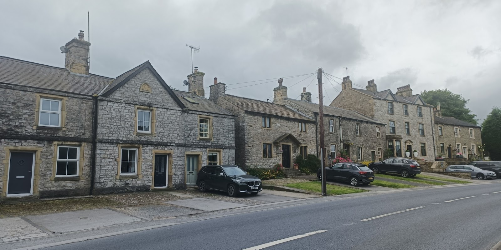
It is mostly spread out along the A59, and we will start at the east end of the village. There are some fairly modern houses, mixed in quite tastefully with older, but the first of note in the Old Chapel. This was a Methodist church built in 1871, and closing in 1948. It is now housing and I suspect very much changed, though it still holds the name.
There used to be a pub, the Commercial Hotel, to the left of the chapel, but no sign of it remains.
And then there is the church itself. Bits of it - possibly only the foundations of the tower - date to 1140, and they have a list of vicars from then.
As I was taking photos two ladies were unlocking it and invited me inside. Judging from the visitors book, they do not get many tourists.
There is one pub still open in Gisburn, visible in the image above, the White Bull. White Bull and Black Bull are popular pub names in Lancashire.
Next door but one was the Ribblesdale Arms, which closed around 2000, and seems to be accommodation now.
Park Road leads to an old stately home, the former residence of Lord Ribblesdale, now a weddings venue. It seems to be a private road, so I did not venture far up it, but the estate will feature a lot in the rest of this post. The estate retains the "e" in Gisburn.
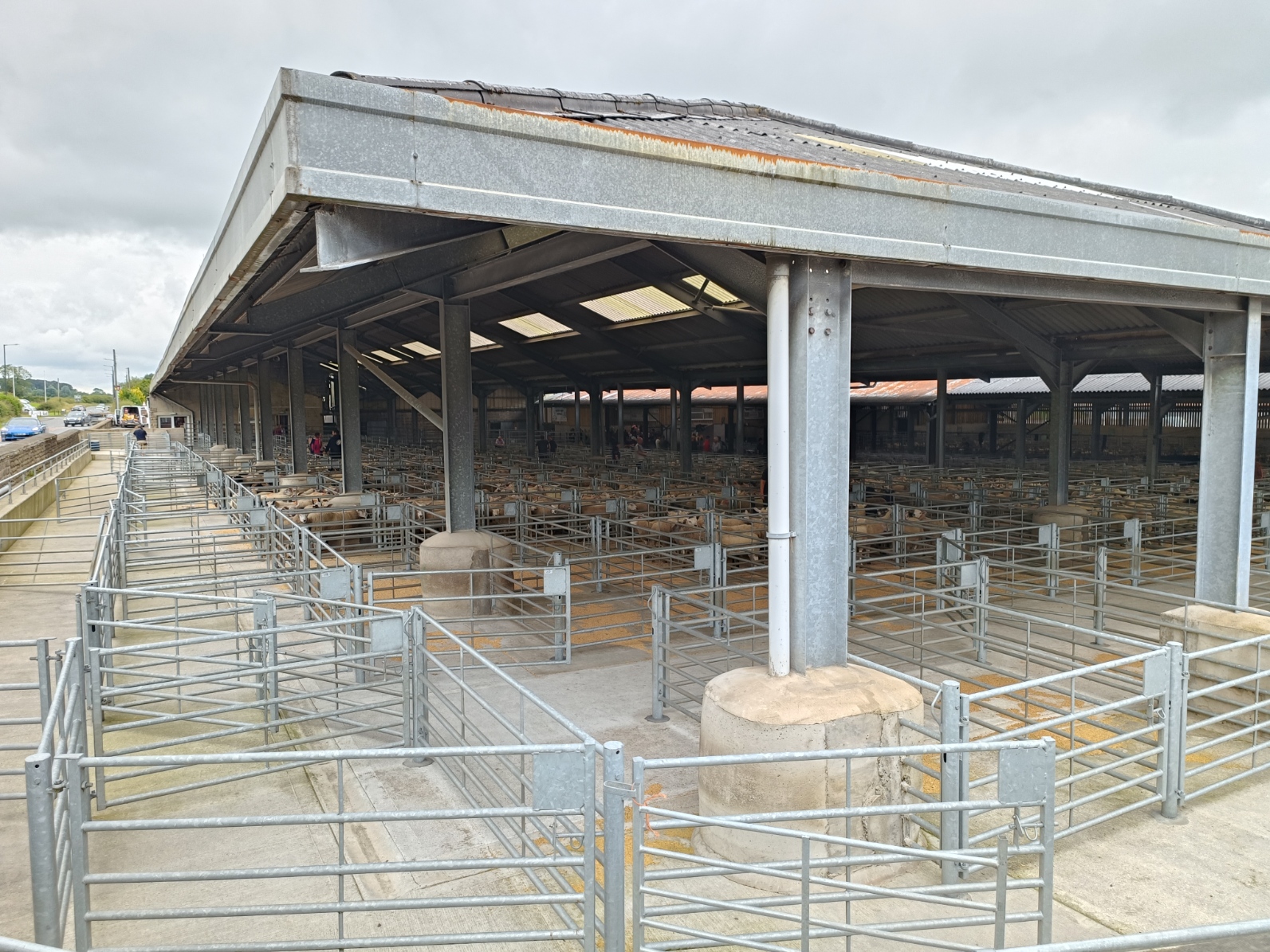
Before visiting a place, I like to do a bit of research so I know what to look out for and part of that is looking at a map of the place from about 100 years ago, and I discovered that there used to be a cattle market here. I was even more surprised to find it is still there! How a village of 500 people supports a cattle market I do not know. I was even more surprised to find the market was in progress when I was there!
The market is on the corner of Mill Lane, which heads northwards, and was where I now headed.
The railway between Clitheroe and Hellifield, which opened in 1880. I am not sure if passenger trains still use the line, but Gisburn station closed in 1962. This is where it used to be, viewed from Mill Lane:
Back in the day, there were cattle pens serving the market on the left.
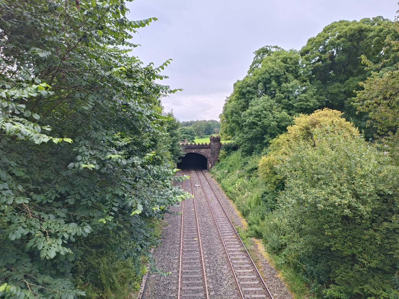
This is where the railway passes though the estate of the stately home, and Lord Ribblesdale demanded that the railway go through a tunnel so as not to disturb his horses. Below is a view a bit further along the road, and if you look carefully you can see the crenellations of the tunnel portals at both ends of the tunnel on the right of the image. Anywhere else, this would be a cutting!
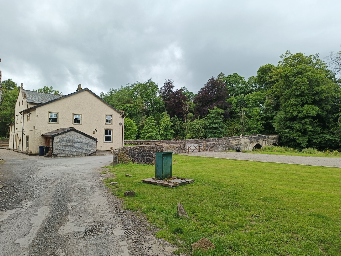
Mill Lane continues for some way, mostly down hill, to the River Ribble - it becomes Gisburn Road on the other side. Looking up river there is a curious ruin on the right. I think they used to be kennels.
Here is a view of the bridge; I think the building is an old mill, and the stone wall just left of centre would be the parapet of the bridge over the mill race.
Rather than cross the bridge, I headed eastwards, following a bridlepath through Gisburne estate. This is as close to the house as I got. It is impressive for its size, but architecturally rather dull to my eye.
This is part of the Pennine Bridlepath, which goes from Derbyshire to Cumbria, but which end I was heading towards, I am not sure, or where it went from here. I headed south along the A682.
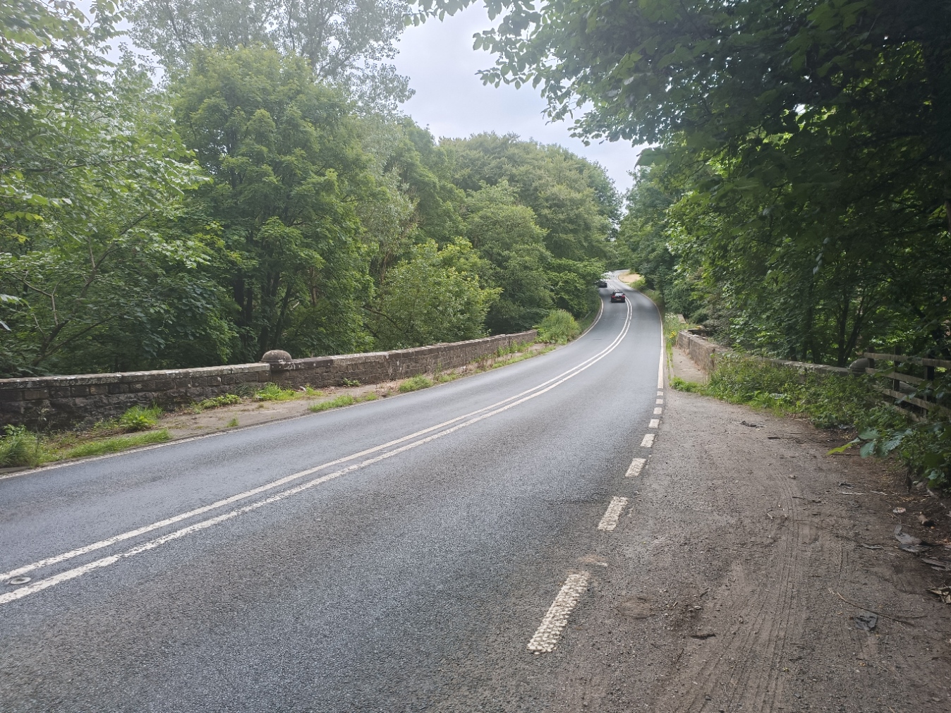
This is where it crosses the Ribble.











Comments
Post a Comment