Padiham
Padiham is a small market town about half an hour from Preston, to the west of Burnley. It is a classic Lancashire town with a lot of charm. It has a population of around 10,000. And most of the car parks are free!
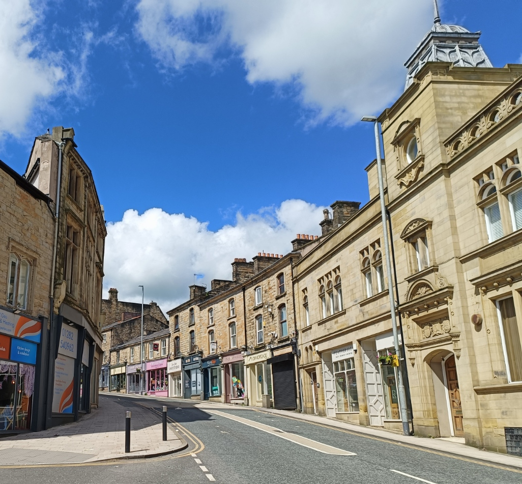
The main street is a conservation area, and has some fine examples of architecture, many of which are weird shapes to fit the space between twisting roads. This was Barclays Bank at one time.

The block behind and to the right curves at it goes down the hill. This is the view from the bottom. Note also the building on the left which comes almost to a point at this end.
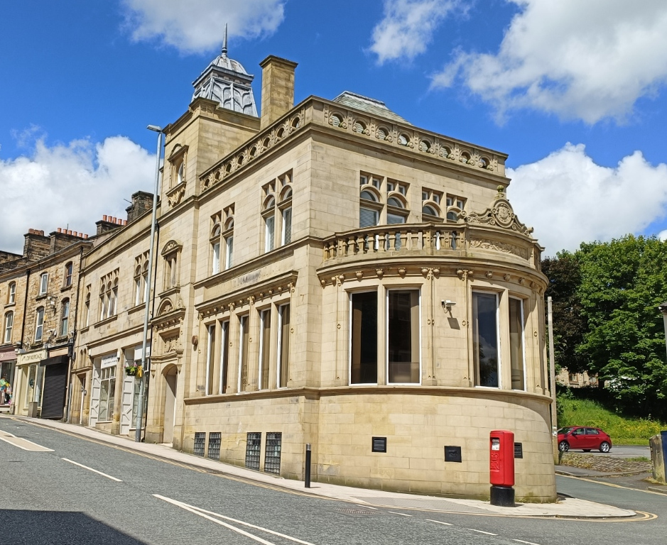
This is the end of the last building. Another bank, the National Westminster.
To the right of that, and set back a bit is the Hand and Shuttle, the name being a reference to the cotton trade that the town was based on.

I am not sure if it is still a going concern; it certainly looks very run down, but was reviewed (quite favourably) just six months ago.
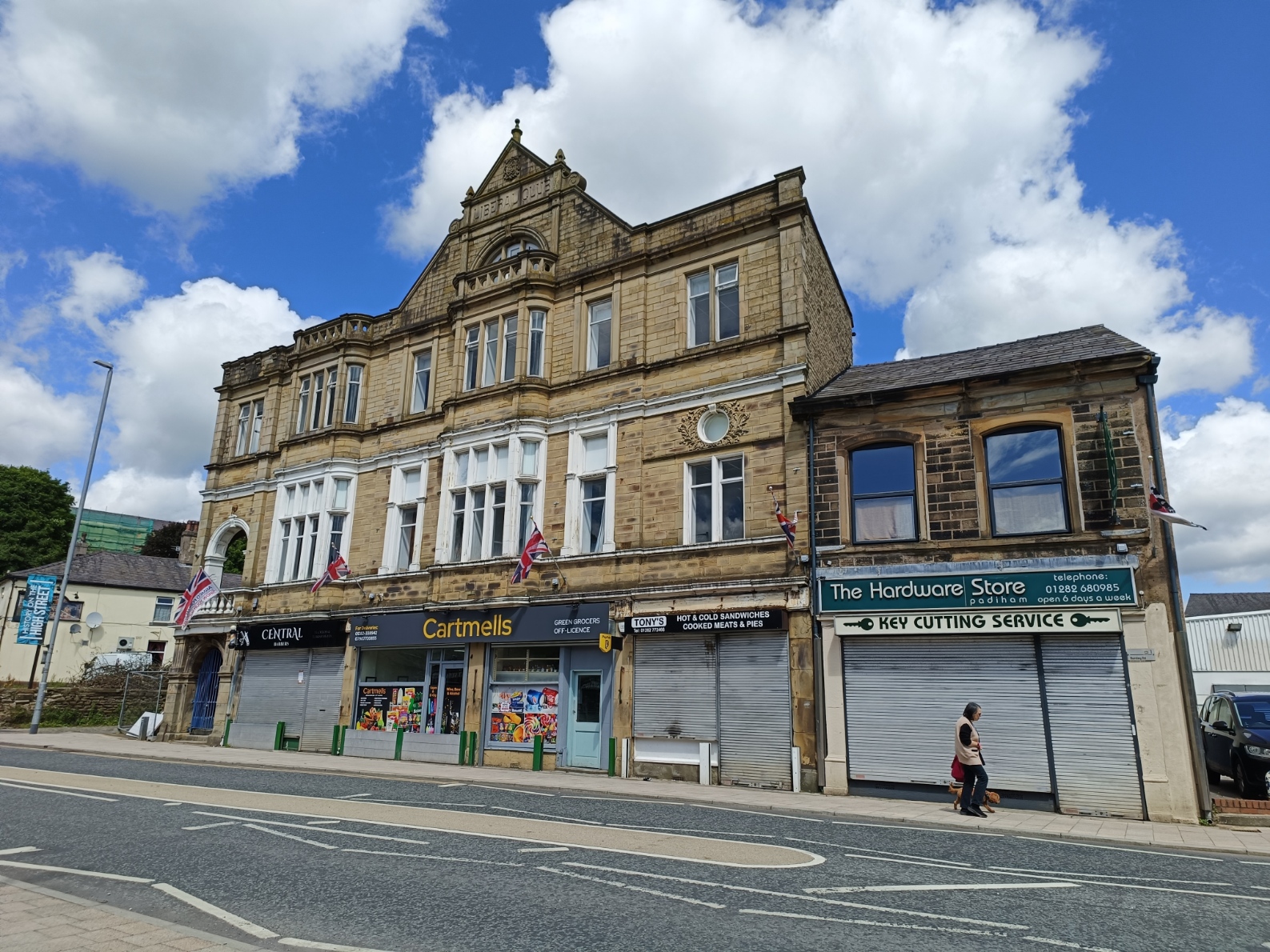
Further down the road, this building used to be the Liberal Club, as it proudly tells us. I find its lack of symmetry odd, but an impressive building nevertheless. The Hardware Store was presumably built separately.
On the other side is the town hall, built between 1936 and 1938. It has a rather usual clocktower, as far as I can tell this is original, so I guess is "Art Deco"?

The road then crosses the River Calder. This is the view looking downriver.

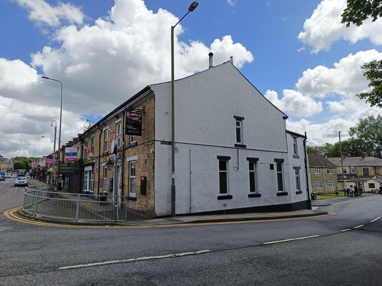
Across the bridge is the appropriately name Bridge pub.
There was a railway that ran through Padiham. The station closed in 1957, and the line closed altogether a few years later. The course of the railway is now the Padiham Greenway.

Unfortunately, it is shut where the railway closed the river - as well as the associated footbridge - which rather unset my circular route! The next bridge downstream is 1.5 km away; a long detour on foot.

Instead I came back somewhat, to cross at Park Road bridge. This is the view upstream, towards the earlier bridge. The presence of a wear suggests this was this site of a water mill at one time.

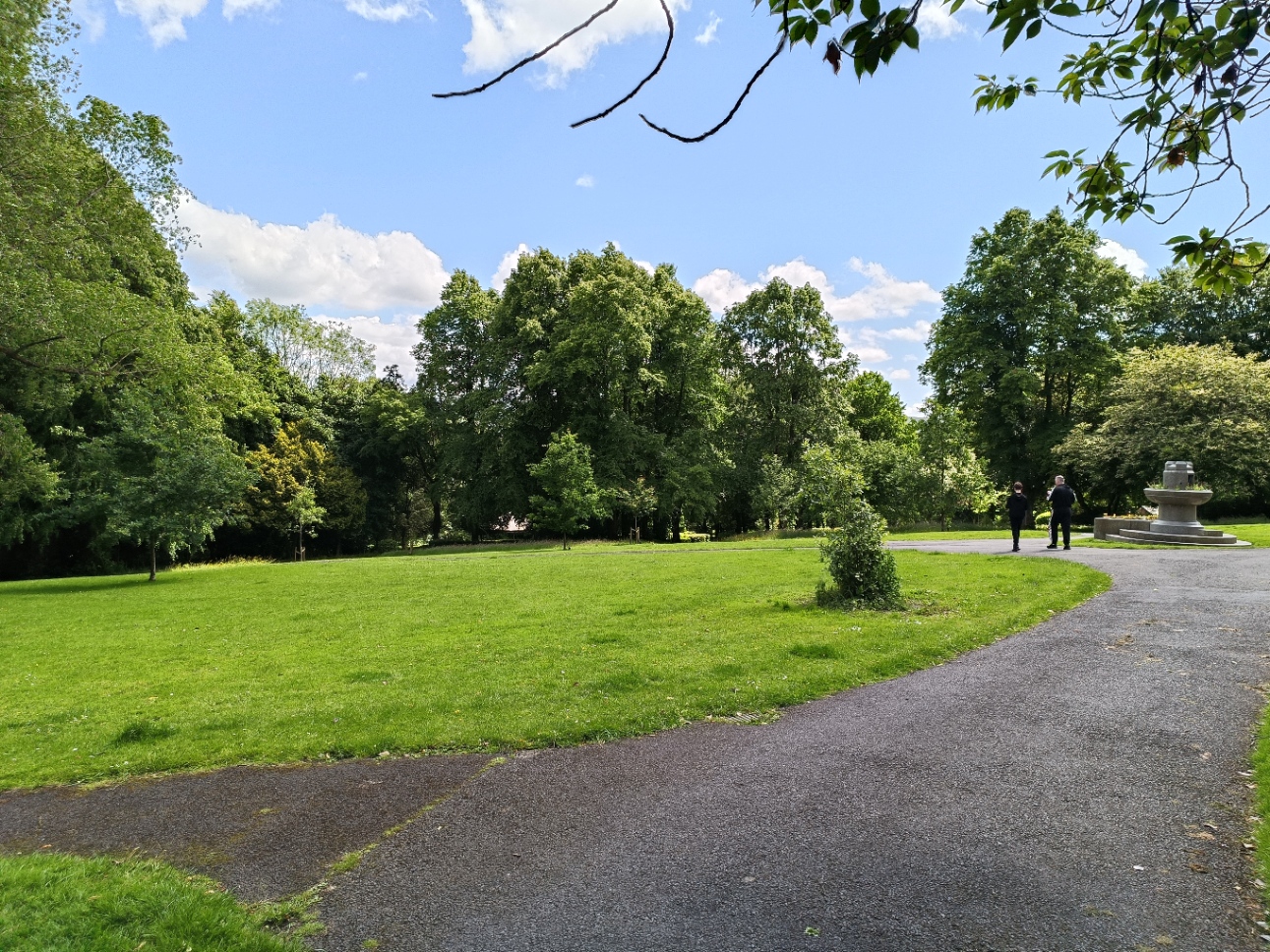
But let us suppose the old railway bridge was open, and continue our circular walk... just north of the old railway is memorial park, which was officially opened in 1921.
It features a preserved World War Two bomb shelter. I do not know if the public are ever allowed to see the interior - or what state it is in - but there is a sign informing us about it.

As we approach the street, there is war memorial.

Just outside the park is the Nazareth Unitarian Church, and I somehow failed to get a decent shot of it!

A short way up Holland Street is the Hare and Hounds.

Back on the main road and heading east, we head back towards the centre, and we pass this interesting building. The left half is two houses, while the right half is a single house of double the size. Each has its own flight of steps down to street level.

These were presumably high-class homes back in the day, being four stories high. In contrast the house to the left is tiny.
As the road curves right and Bank Street peels off there is another delightful example of a building whose shape was dictated by the roads, with hardly a right angle in sight!

The road swings round to the left, with St Leonard's Church on the left (also visible in the background above). To the left is a quaint little building below street level, a restaurant called the Cellar.

Further still, the road bends back to the right, and to the left is Gawthorpe Street. This row of houses, built between 1841 and 1851, is listed. Nevertheless some properties have been modernised. The cobbled street apparently dates back only about 30 years!

A small town with a lot of appeal that I just happened to stumble across while teaching my son to drive, but well worth a visit!


Comments
Post a Comment