Ormskirk
Ormskirk is a sizeable town about half way between Preston a Liverpool that I had not even been though until today.
Ormskirk is Norse for dragon church, though the dragon part was probably the name of the guy who founded a church here. that said, there are no records or archaeology to support the claim.
The south end of Burscough Street is the most attractive part; it is narrow and pedestrianised. This is looking south from where it is crossed by Derby Street - north of here is not so attractive.
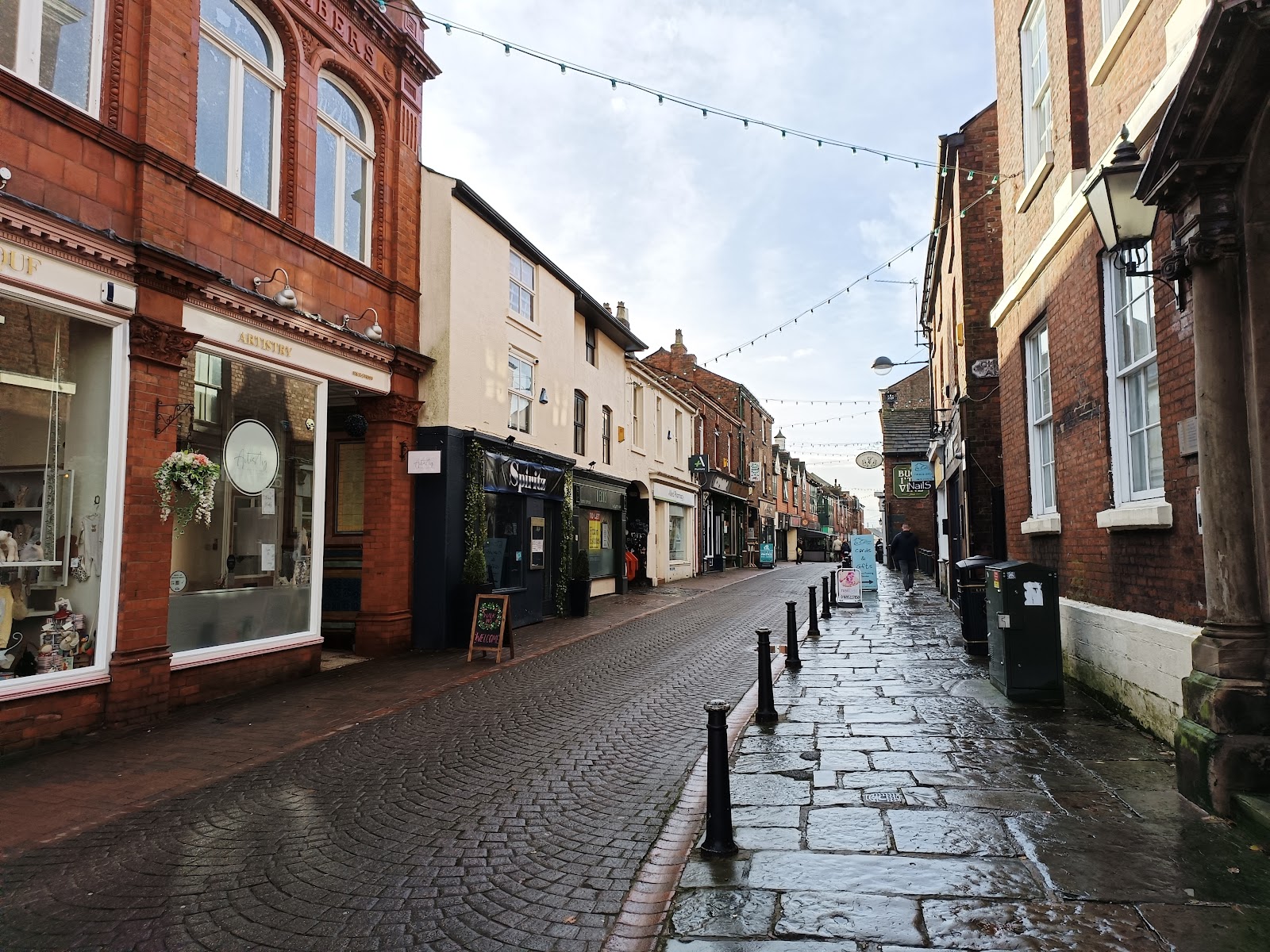
You can just see the Buck i' th' Vine pub; here it is in all its glory.

This grade II listed building was built in the seventeenth century as a coaching inn for the road from Liverpool to Preston. Originally the Roebuck, I understand it is generally just called the Buck.
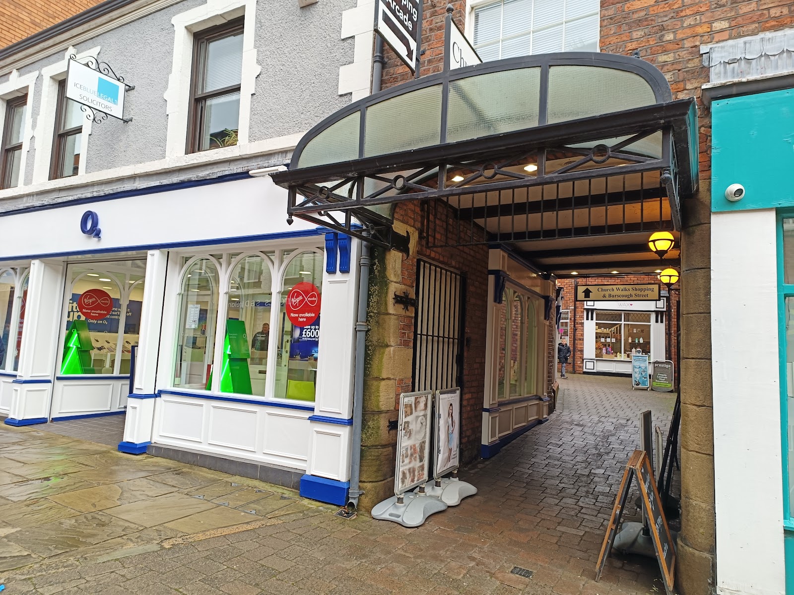
Ormskirk has its own arcade... Blink and you miss it.

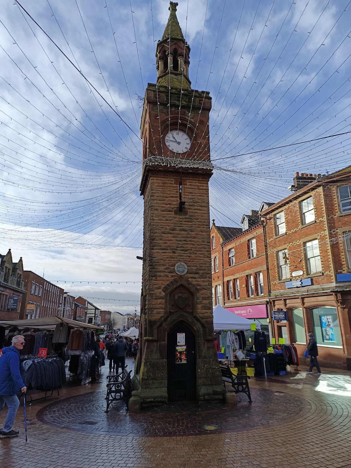
At the bottom of the street in the clock tower which, I guess, marks the centre of the town. I was there on market day!
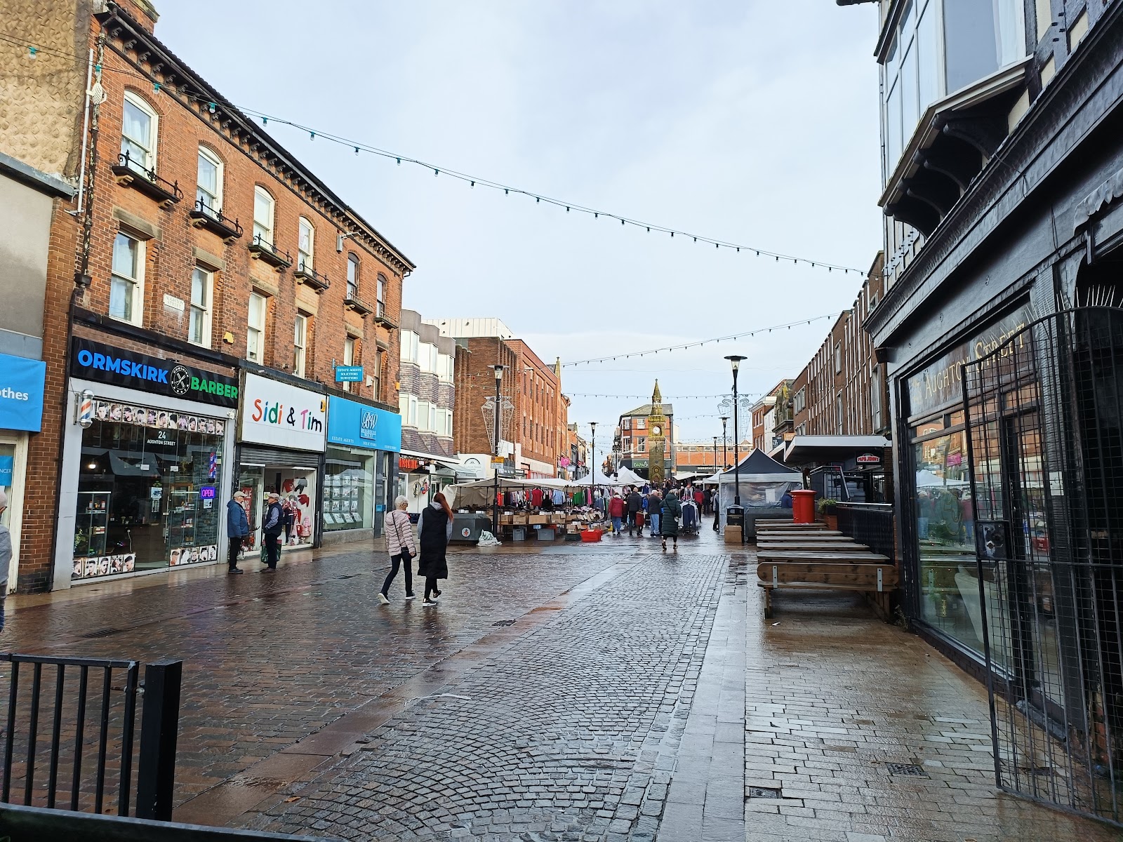
South from the clocktower is Aughton Street, which leads to Morrison's supermarket. I liked the way the Morrisons felt it was part of the town centre, albeit at the edge, and there seemed a major flow of people between the supermarket and the street market, which, I suspect, is good for both.
This is looking up Aughton Street back to the clock tower.
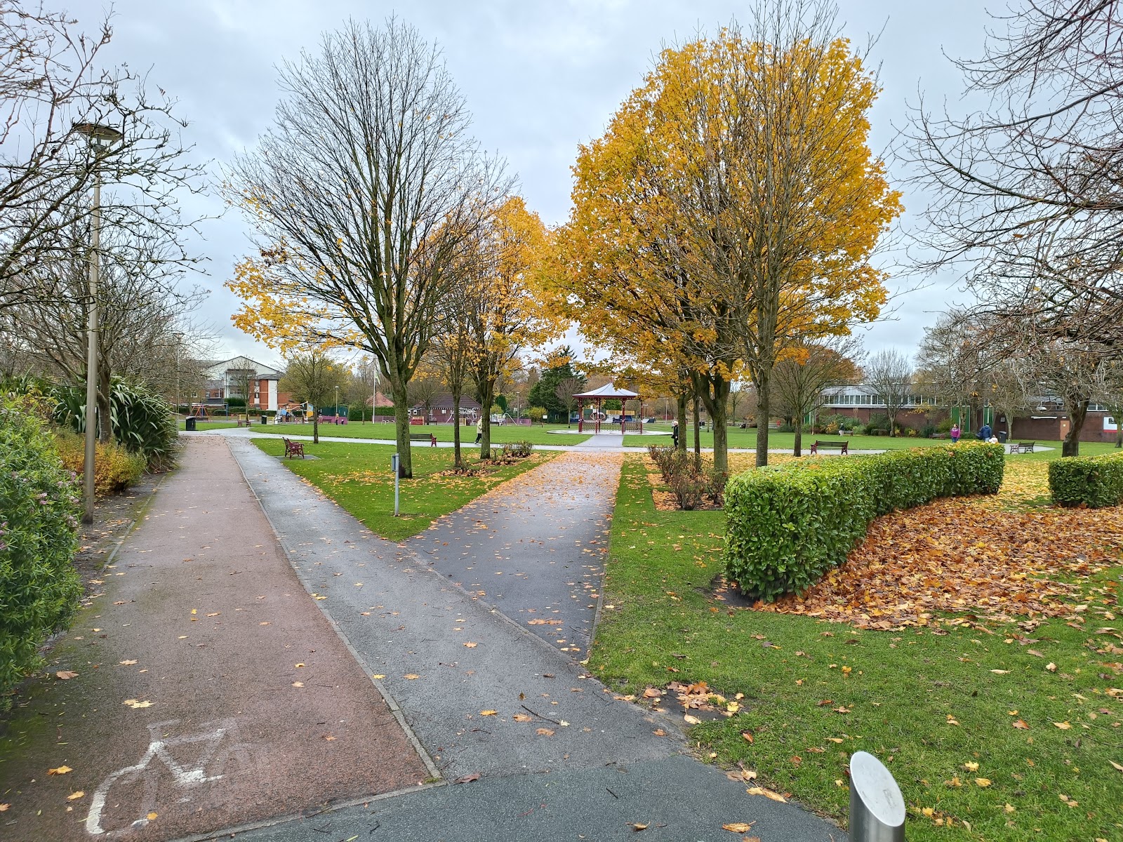
Morrisons is across the A570, and beside the pleasant Coronation Park.
Going west - or northwest - from the centre, along Church Street, takes you past the other end of the arcade.
At the top of Church Street, perhaps unsurprisingly, is the church! It features both a spire and a tower, which does look a little excessive to my eye.

Curiously it seems to be called just Ormskirk Parish Church, with no reference to any saints, or whatever.
Heading east now from the clock tower, along Moor Street, takes us past Clark's shoe shop, with a curious ship motif on the wall. Apparently this used to by the Ship Inn, and the Rye Sheaf before that.

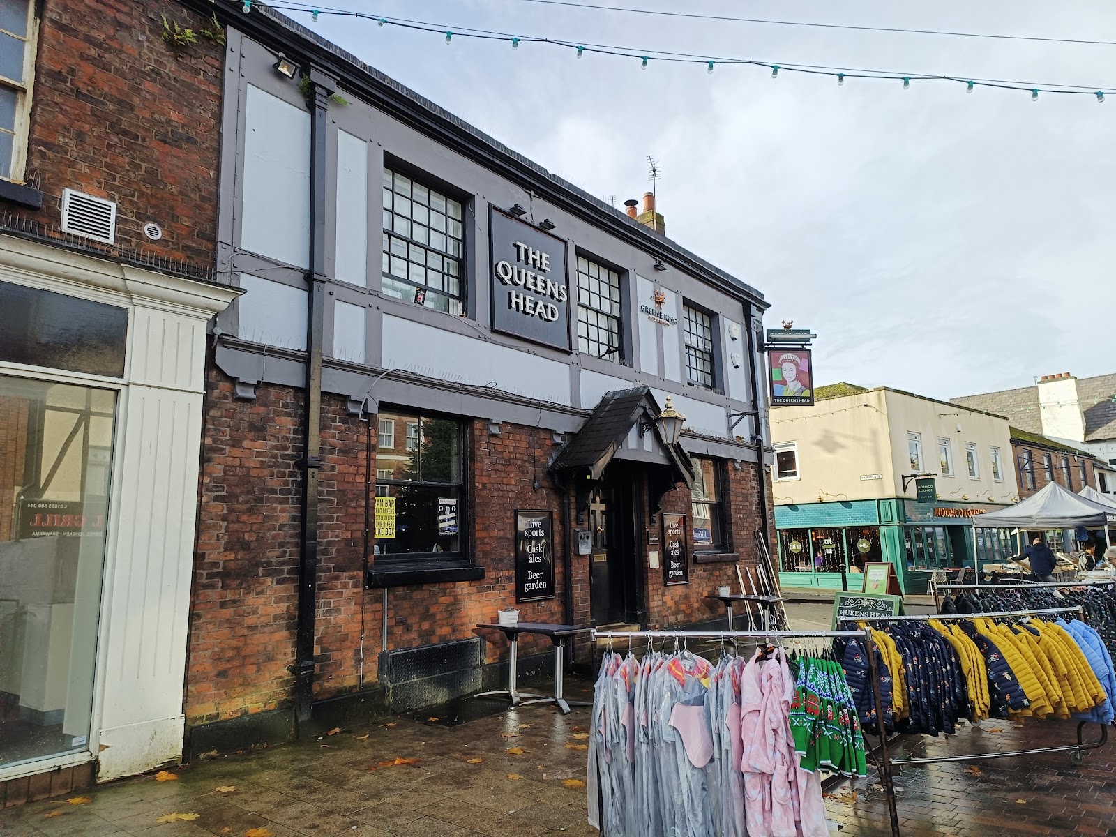
A bit further a long is the Queen's Head.
Further still, and on the north side, the Golden Lion.

The road to the right of the Golden Lion is Railway Road, running almost parallel with the railway. I say almost parallel, because someone built a wedge-shaped shop where the two diverge. It is about four foot wide at its narrowest. In the image below you can see both the front and the back.

Heading up Railway Road we get to Derby Road again, and opposite is the Railway pub.

Derby Road crosses the railway, with the station to the north.

The station is unique as far as I know for being two terminii - a terminus both for trains to Liverpool, such as the one above, and trains for Preston. And it is a true terminus for both; there is no physical way for trains to get from one line to the other.

Trains from Preston use the platform to the right, to Liverpool to the left.
There is a good service to Liverpool, with trains every 15 minutes, and I imagine it is popular with commuters. The service to Preston is not so great, with three trains every four hours. It is notable the the station building is adjacent to the Liverpool trains. Passengers for the Preston train have to brave the elements.
It is a long fall from its former glory, when there were two through platforms and two bay platforms, and express trains from Liverpool to Glasgow would stop here.
The other side of Derby Street is Emmanuel Methodist United Reformed Church, dating from 1878. The church's web pager relates how the arrival of methodism in the 1790s led to rioting...

Ormskirk is a nice little town that seems to be thriving. There were few empty shops and not many charity shops; I did not see any closed pubs. The market seemed more likely than Preston's.


Comments
Post a Comment