Highgate Woods
This is a walk I took the first weekend on March 2020. I actually did it in two parts, just because I did not know where I was going and happened to be in the area both days, but I will describe as though it was a single continuous journey. It is not long; perhaps 40 minutes end to end. Some of it was very muddy, and bits are not suitable for pushchairs or wheel chairs. It is fairly flat.
I started from the mini-roundabout at the east end of St Vincents Road, when it meets Sharoe Green Lane, and walked along Fairways, and a very short way along The Paddocks, where there is a gate on the left. A footpath leads down to a small stream.

Not sure if the stream has a name. but it seems to rise within North Preston Employment Area. It heads more-or-less south, and the path follows it on the east side, to meet the Savick Brook.
The downstream end of the Savick Brook has become part of the Lancaster Canal, and was discussed on another page. Upstream, the Savick Brook passes though Preston Golf Course, as can be seen below, and ultimately seems to rise in Longridge.

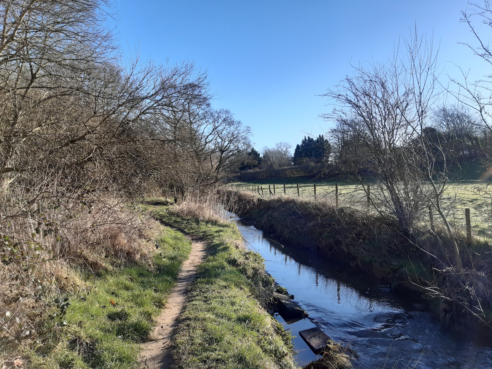
My path heads southwestward and downstream.
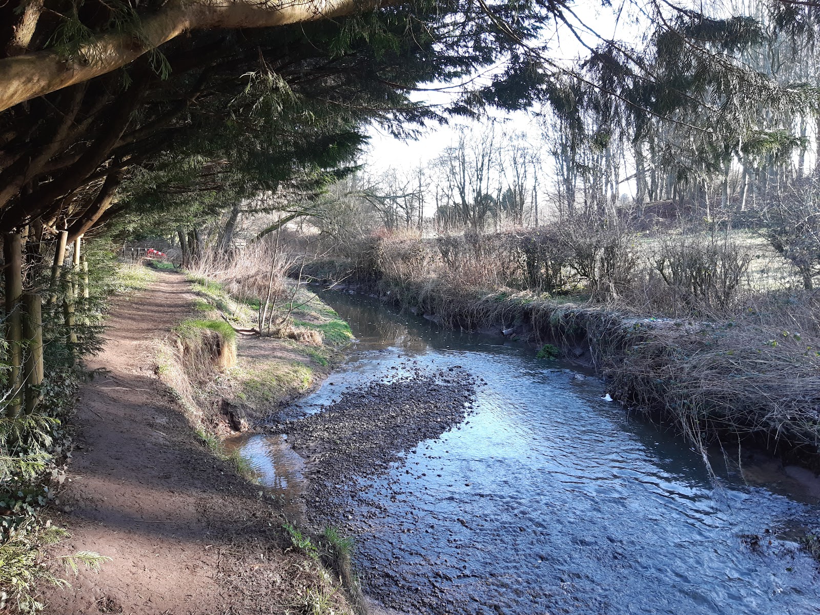
The path is not too well maintained, and the section above is slowly being eroded away. The fenced area to the left is private property. This look set to become unusable in a few years.
It is not far to Sharoe Green Lane, first the old bridge, then the new, the latter being at a greater elevation and somewhat to the west or the original. After crossing the road, rejoin the path to the right of the brook.
The view below is looking back towards the road.
After a while we come to this small bridge.

This seems to mark the boundary of Highgate Park, as west of here the paths are well maintained. In fact there is a sign going back eastwards which may at one time had said it is not public footpath, however, there is also a sign at Sharoe Green Lane that does state it is a footpath.
A possible reason for it not being a public footpath any more is that in times of heavy rainfall the area is deliberately flooded, and the council may prefer to have some assurance no one will get caught in it. This image shows where it can be dammed as required.

This is just by the Garstang Road and the end of the route.
It is a love walk, and when I visited the place was awash with bird song. I saw a rabbit too. Well worth a visit.


Comments
Post a Comment