The Southern End of the Lancaster Canal
I had a look at the real south end of the Lancaster Canal, where it originally ended when it was built. The canal was built to transport coal north from the Wigan coalfields, so it starts there, at a place now called Top Lock, a couple of miles northeast of Wigan town centre.
Within a few years of the Lancaster Canal being built, the Leeds Liverpool Canal (LLC) connected to it, and after a while that section was leased and later purchased by the Leeds Liverpool, and so today it is known by that name, but it was originally part of the Lancaster Canal.
History
The engineer of the Lancaster Canal clearly disliked locks, which is very reasonably, given they require maintenance and water, plus they are a bottleneck. As far as I can see there were none on the southern section, and I do not think there were any on the northern section either as originally built (the Glasson dock branch has several). I wonder if the southern section is at the same height as the northern section, to ensure no locks were required when the planned connection across the Ribble was built.
I think this is incredible engineering. How do you build some that long that is perfectly level a long its entire length with seventeen century technology?
The LLC was built in stages. One of the earlier section started from Liverpool, reaching Wigan in 1781, some years before the Lancaster Canal was built. There was a plan to build their own canal, but in the end joined with the Lancaster Canal in, I think, 1816.
I discussed the connection at the more northerly end previously.
At the southerly end, the Leeds Liverpool had to rise considerably to get from Wigan to the Lancaster Canal - there are some 21 locks over the course of about a mile. The one at the top, Top Lock, has given its name to the area.

This aerial view shows the connection. The LCC comes from the south east, and you can see the first two locks. What was the Lancaster Canal heads to the northwest. There is then a very short section heading southeast, but then terminating. This is the original end of the Lancaster Canal.

This map excerpt from around 1850 shows it never went any further, seemingly terminating in the middle of nowhere. However, the area has numerous coal pits marked, and it was them that the canal served.
It is interesting that even in 1850 several are marked as "Old Coal Pit", presumably because they were no longer in use. My suspicion is that these were open pit mines that had been worked out. The area did not reach peak coal production until 1910, by which time there were several iron and steel works in the area too.
My Visit
I visited the area in February, 2022, and the towpath on the LCC was pretty muddy! However, there were no leaves on the trees, allowing me to actually see the end of the Lancaster Canal.

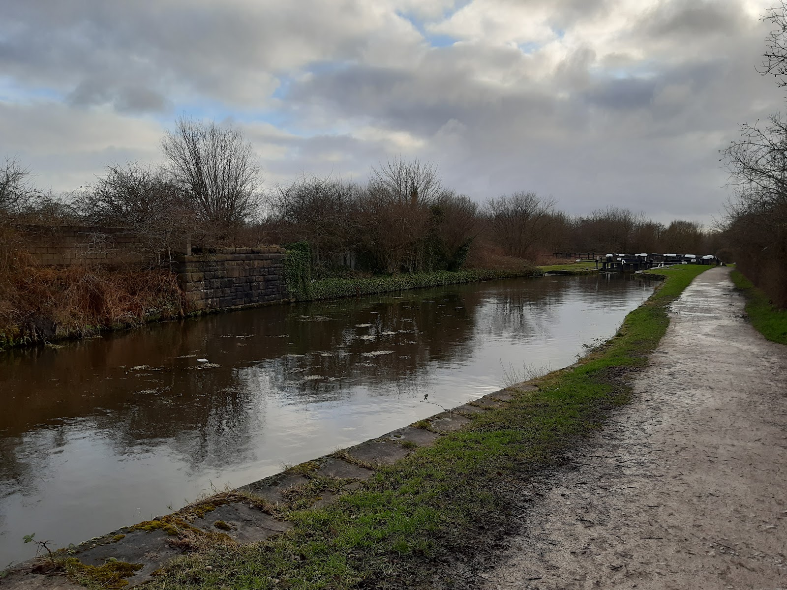
This is from the LCC, the section that was previously the Lancaster Canal, looking southeast. The LLC shoots off to the right, to descend towards Wigan, while the Lancaster Canal continues a very short way under the bridge in the distance.

This is the view from the aforementioned bridge, looking at the same area. Straight ahead is the LLC that was originally the Lancaster Canal. The LCC heads to Wigan to the left just beyond the big tree.

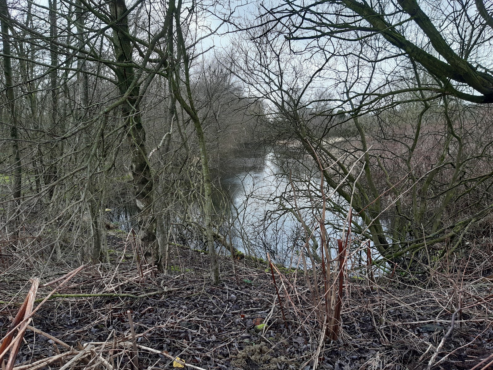
This is the view from the end of canal; the most southerly point on the original Lancaster Canal. The water is surprisingly clear of debris and vegetation at this point.
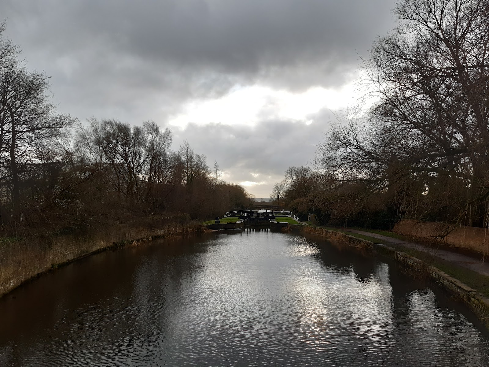
This is looking down the LCC towards Wigan, and the flight of 21 locks. The first is behind you, the second is visible.
Signs of the Past
The area at one time was full of heavy industry, served by the canal and later a network of railways. Virtually all the old heavy industry has disappeared from the area, though there is some light industry still there. There are signs of what used to be there scattered around.
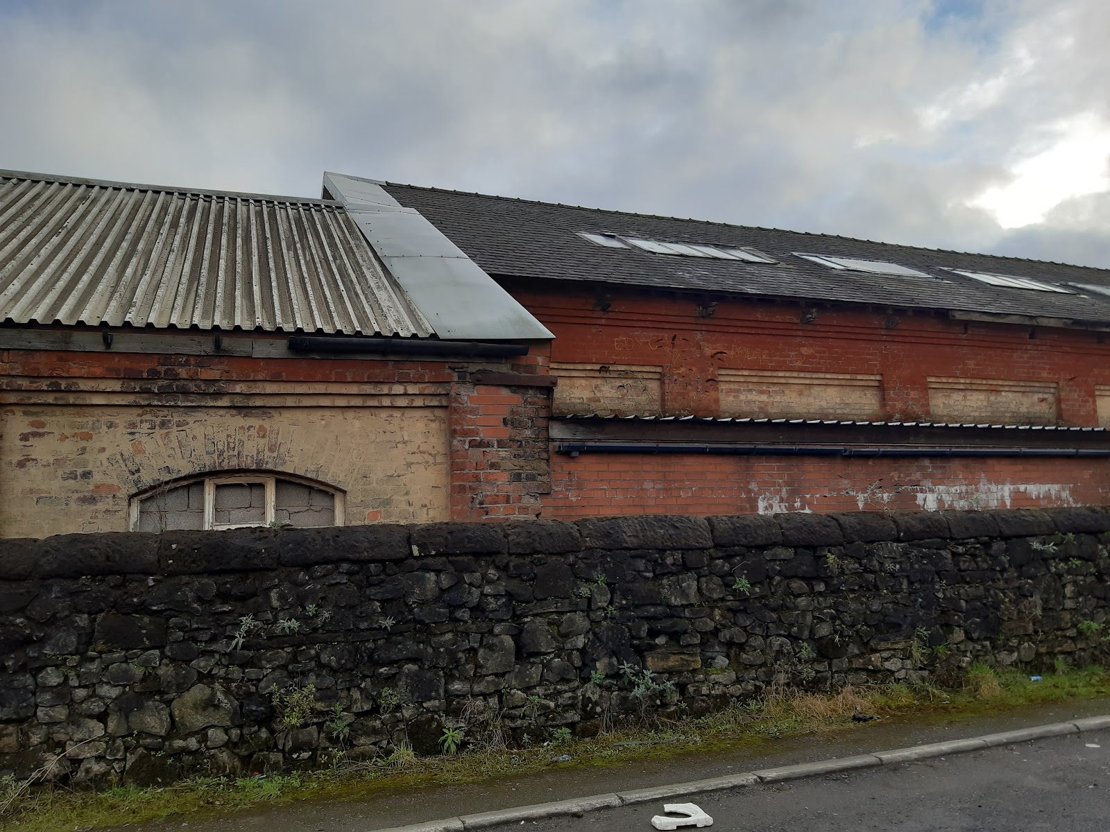
Just south of the end of the Lancaster Canal, this used to be part of Kirkless Coke Works, later Kirkless Semel Solvey Coke Works, and was there by 1890.
The abutment on the left marks where the Round House Branch railway crossed the canal. A bit further down there was another railway crossing, and I walked along its course to the northwest, to get to this colliery.
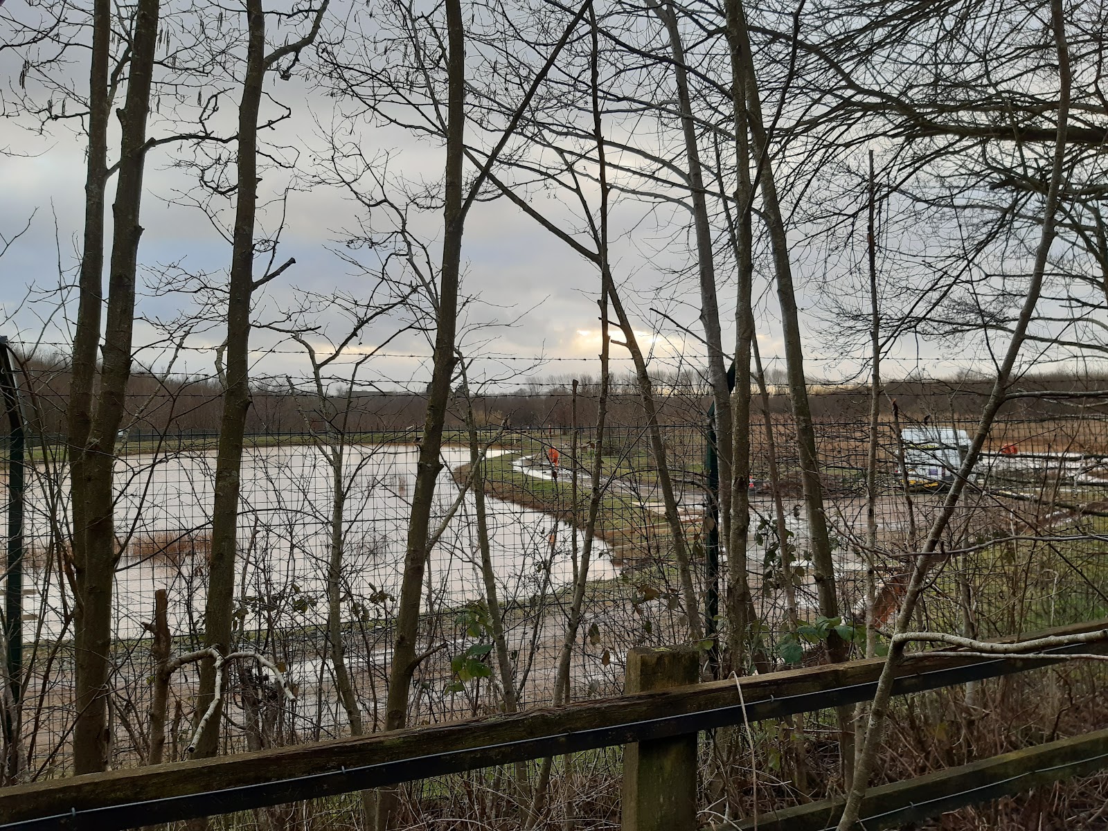
This fenced off area used to be a mine, Alexandra Pit, and is currently being decontaminated. This is taken from the course of another railway - or possibly a tramway, given how steep it was.

Finally, back to the canal, this is Shedfield Bridge, where the tramway I was on previously crossed the canal, now a footbridge. The whole area was a confusing mass of railways, all now gone.


Comments
Post a Comment