Posts

Moor Lane and Lancaster Road North

Image
Moor Lane is a fairly short road that runs from the university at the north end of Friargate to the A6, where North Road becomes Garstang Road. It takes its name from Preston Moor, of which Moor Park is the last remnant. We start with the Adelphi, a pub I have probably mentioned before, which is next door to the new University building. It shares its name with a side street, and seems to date from 1838. Across Adelphi Street, this building was clearly a bank at one time! While this was clearly a church, more specifically a United Methodist Church. I found a couple of images of it on Flickr ( this from 1900), both claiming it as destroyed by fire in 2012. Moor Lane passes over the old railway to Longridge, but there is not much to see as it is in a tunnel. Then, set back a bit on the east side is Preston's last remaining windmill . Built in 1760, it was used as a windmill until 1880, but had other uses since then. It is now Grade II listed. This is the Queen Vic fish and chip shop,...

Freckleton

Image
Freckleton is a village on the north side of the Ribble Estuary, between Preston and Lytham. The A584 now passes by the north of the village. The centre of the village is marked by a fenced off garden with the war memorial; previously this was the village green.  The village green is formed from three roads that make up a triangle. From here roads lead in various directions. To the south-southeast the road goes to Lytham, via Warton. To the north-northwest, there is a road to Kirkham. To the southeast in Preston Old Road, which then heads east, then northeast, at which point is crossed Freckleton Pool, and headed east-northeast to a tollhouse, and then due each towards Preston, across Freckleton Marsh. The tollhouse is still there are visible from the A584; it is now a farmhouse. In 1920, a new road was built, now called Preston New Road, coming in to the village green from the northeast. A roundabout less than 100 m up the road makes the start of the bypass, built in 1992. This vi...

Ormskirk

Image
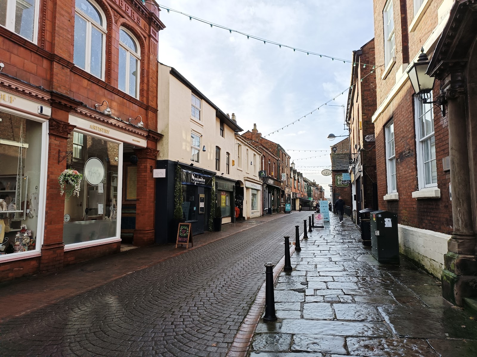
Ormskirk is a sizeable town about half way between Preston a Liverpool that I had not even been though until today.  Ormskirk is Norse for dragon church, though the dragon part was probably the name of the guy who founded a church here. that said, there are no records or archaeology to support the claim. The south end of Burscough Street is the most attractive part; it is narrow and pedestrianised. This is looking south from where it is crossed by Derby Street - north of here is not so attractive. You can just see the Buck i' th' Vine pub; here it is in all its glory. This grade II listed building was built in the seventeenth century as a coaching inn for the road from Liverpool to Preston. Originally the Roebuck , I understand it is generally just called the Buck . Ormskirk has its own arcade... Blink and you miss it. At the bottom of the street in the clock tower which, I guess, marks the centre of the town. I was there on market day! South from the clocktower is Aughton Str...

Friargate

Image
 Friargate is the second main shopping road in Preston. Its south end joins Market Street at the Flag Market, just north of Fishergate, the biggest shopping street. It heads northwest, to meet Fylde Road at the university. Apparently Friargate was home to Preston's first catholic church and first Indian restaurant, and at one time was the main commercial road. The name relates to a Franciscan monastery founded in 1221, and apparently the exact location of the friary is unknown . Franciscan monks dressed in grey robes, and hence there is a Wetherspoons called  The Grey Friar. In 1991 the street was bifurcated by the Ring Road, which did it no favours. The shorter section south of the Ring Road is still busy - though a lot of shops are empty - but the north section not so much. There is work in progress to pedestrianise the north section, which may improve it, and its proximity to the university certainly helps. We will start from the end of Flyde Road, where this page...