Moor Lane and Lancaster Road North
Moor Lane is a fairly short road that runs from the university at the north end of Friargate to the A6, where North Road becomes Garstang Road. It takes its name from Preston Moor, of which Moor Park is the last remnant.
We start with the Adelphi, a pub I have probably mentioned before, which is next door to the new University building. It shares its name with a side street, and seems to date from 1838.
Across Adelphi Street, this building was clearly a bank at one time!
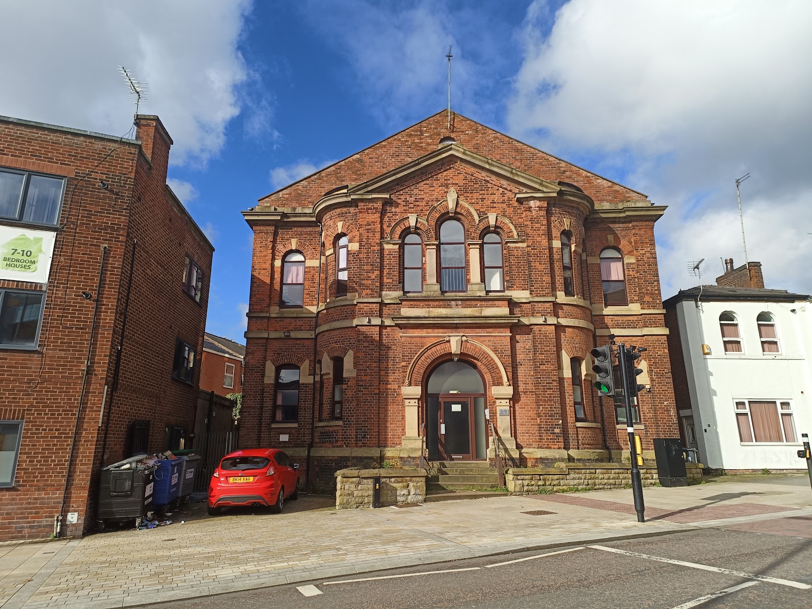
While this was clearly a church, more specifically a United Methodist Church. I found a couple of images of it on Flickr (this from 1900), both claiming it as destroyed by fire in 2012.
Moor Lane passes over the old railway to Longridge, but there is not much to see as it is in a tunnel. Then, set back a bit on the east side is Preston's last remaining windmill. Built in 1760, it was used as a windmill until 1880, but had other uses since then. It is now Grade II listed.
This is the Queen Vic fish and chip shop, formerly a pub called the Queen Vic, and previously the North Euston Hotel. It opened in ca. 1870, and closed as a pub in 2010.
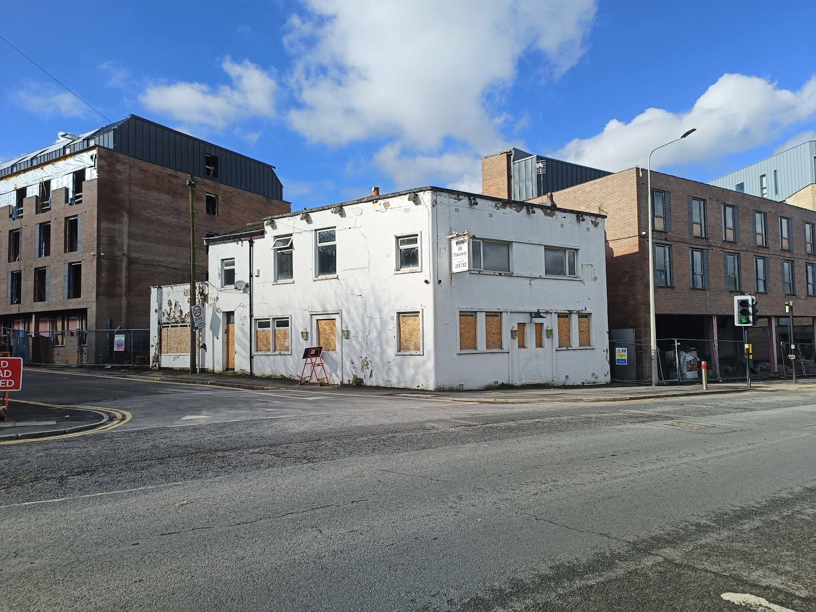
A pub called the Prince Arthur was built around 1850, next to a biscuit factory. This was rebuilt at some point, and you can see an image of it looking vey new here. It was later the University Tavern (I guess around 1992 when UCLAN came to be), then JJ's Lounge Bar, before becoming another take away. I think even that has closed and, like much of the area, is set to be student accommodation.
Most of that student accommodation looks uninspired, but I quite this one; it does suggest someone took a moment to think about the aesthetics.
Moor Lane meets the A6 where North Road ends and Garstang Road begins. Across the road is the Moorbrook, taking its name from the brook that ran across the moor. It once stood in a row of buildings, as can be seen here. It dates from about 1860.
To the left of it is the Unicorn pub, at least for now. The pub closed in 2017, and is being converted to... student accommodation, to be called Unicorn Hall. I think this will include the car park behind, which is also now closed. The pub used to be called the Cattle Market Tavern, and later the Cattle Market and Unicorn. The cattle market itself was further up the road, on the right, when a church now stands (see next post!).
Set back a bit from Moor Lane is what used to be St Thomas's Infants School. This is in St Thomas' Place, and my use of "s" after the apostrophe is deliberate; the school had one, the road did not. The school was built in 1849, and enlarged in 1910, as a plaque helpfully informs us. Not sure when it stopped being a school.
Just to the east of it is City Church Preston, formerly St Thomas' Church, built between 1837 and 1839 in a Romanesque Revival style.
The church is on Lancaster Road North, and we now head back towards Preston along this road. It used to go all the way to Church Street, but got bifurcated by the ring-road and law courts.
This was the Royal Lancaster pub, closed in 1996.
The Spindlemakers is opposite, but looks very derelict and surrounded by a security fence. Closed in 1994.
Not sure what this building was, but it was built in 1913.
Behind it, on Elizabeth Street, is All Saints church, an Anglican church built in 1846 to 48 to a classical style.
This Art Deco building was built in 1944, or rather converted from an existing building, presumably due to wartime shortages. It was a masonic lodge, but is now run as a venue for hire.
This backs onto the ring-road, where Lancaster Road North terminates.


Comments
Post a Comment