Foulridge
When the towns of Lancashire were being named, this is the one that overslept and was at the back of the queue...
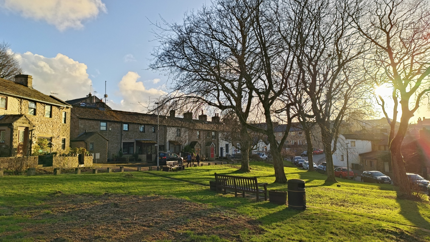
It is just north of Colne, about forty minutes east of Preston. Despite the name, it is a pretty village, with a lot of quirky streets and houses.
South of the town are two reservoirs - Foulridge Upper Reservoir and Foulridge Lower Reservoir. The latter is also called Lake Burwain. The lower reservoir is older, and was built to supply the Leeds-Liverpool Canal.
We start from the A56 as it passes between the reservoirs. This is the view looking west, down the lower reservoir.
The other reservoir is above the level of the road, and all you can see from the road is the embankment.
A path leads along side the lower reservoir, the Lake Burwain Greenway.
Looking back up the reservoir.
While you can circumnavigate the whole reservoir, we will go along Reedymoor Lane. The lane turns left and the right as it crosses the canal tunnel. This is where the Leeds-Liverpool canal crosses from the Ribble valley to the Aire valley.
The lane goes to Whitemoor Road. To the left is the bridge that crossed the railway, and there is a foot path that runs along to the left of where the railway ran, coming from Colne and heading to Skipton.
Looking back at the road bridge, still in good condition. The railway closed in 1970.
Foulridge station closed a few years before the railway, in 1959. Nothing remains of it, though the building is called the Old Sidings.
We take Station Road into Foulridge, crossing the canal immediately after it entered the tunnel - though you cannot see it from here. There is an industrial site you can cut through - seems to be allowed for pedestrians! This takes us to Warehouse Lane, and so to the canal.
From here we can look back at the canal tunnel portal.
The tunnel portal is Listed.
Back the other way on the canal, there is an old warehouse - I guess the one that names the lane. Now an Italian restaurant.
A bit further along the canal is this curious structure.
Old maps indicate a lime kiln was here, so I guess it is that.
Looking back, you can see the embankment where the railway ran before crossing the canal.
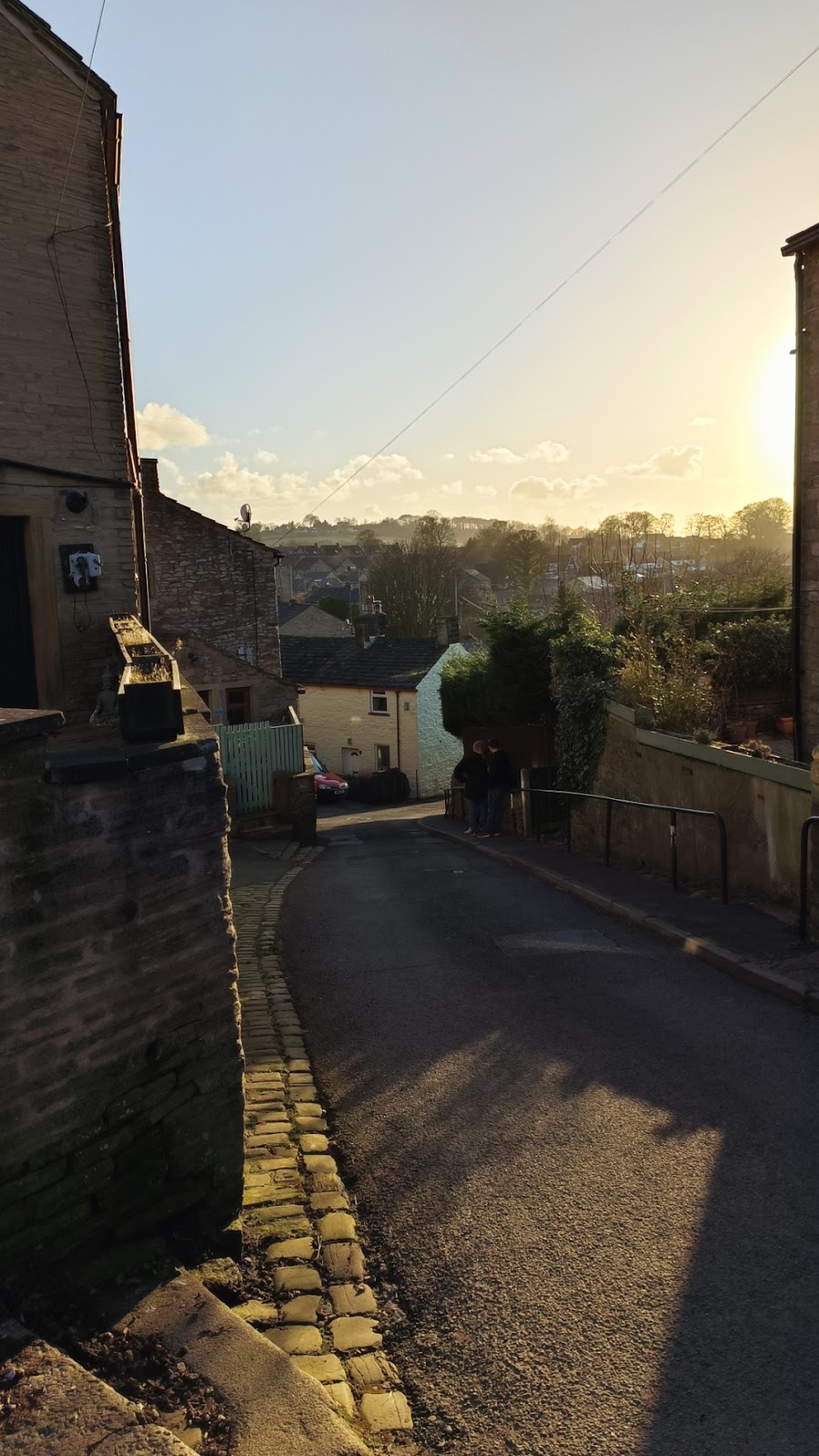
Back south, and we get to Towngate, which winds its way up to Skipton Road (A56).
We cross the A56 to go onto Stoney Lane, and hence Skipton Old Road. A map from 1844 shows the newer Skipton Road already present by then, so it really is old.
This is the view back down Stoney Lane.
This is Breeze House (at the back); listed and dating from later seventeenth century.
The New Inn looks shut.
The Hare and Hounds, where the old and new roads meet, still looks open, however.


Comments
Post a Comment