Ribble River Crossings
The River Ribble splits the west side of Great Britain in to two more-or-less equal parts. Anything coming north or going south on the west side of the country has to cross the Ribble. To be sure, the east side, as determined by the Pennines, is about twice as wide as the west side.
What is odd is how few road crossings there are - just one motorway; just two A roads (though the A59 does cross it twice), and a few other lesser roads.
Crossing 0
I am calling this crossing 0 as it does not exist and maybe never will. It is a new road crossing that, I have heard, was first proposed back in the seventies.
It got a step closer with the opening of John Horrocks Way, the lower dashed blue line, and another step closer with the opening of the Western Distributor last year, the upper dashed blue line. However, that is still a long way from getting a new bridge, which I imagine would be an eight-figure cost, and I am dubious it can be justified. See also here.
Crossing 1: National Grid
The first crossing that actually exists is a number of power lines for the National Grid, feeding the facility just west of Penwortham. The UK consumes more power in the south and generates more in the north, the difference is suppled down two routes, one either side of the country; this is the west.
Crossing 2: Water Tunnel (x2)
Ribble Power Station was situated on the south side of the river, opposite the docks, and was operational from 1923 to 1976. Hot water from the power station was passed under the river into the dock to stop the water in the dock freezing in winter.
It looks like there were actually two tunnels, perhaps built at different times. These are the only crossings under the Ribble.
I am guessing this was not just a pipe laid on the river bed as I think ships would still be using the river. It may have been a tunnel people could go through for maintenance, with pipes running through it, and I have heard a story of someone doing so, but I suspect that is not true.
There is a plan of the power station here, showing the tunnels.
https://www.flickr.com/photos/rpsmithbarney/3979749361/
Crossing 3: Coal Conveyor (x2)
Still with the power station, a series of conveyor belts took coal from the docks, over the river to the Ribble Power Station. The plan linked above indicates there were two - one labelled "coal conveyor plant" and the other "overhead coal transporter". Most images show the conveyor, such as here.
https://www.flickr.com/photos/rpsmithbarney/3910769820
However, this image shows an aerial bucket conveyor, which was the earlier system, probably with much less capacity.
https://www.flickr.com/photos/rpsmithbarney/5695785605/in/photostream/
More photos on these Flickr streams.
https://www.flickr.com/photos/pete247/6881276957/in/photostream/
https://www.flickr.com/photos/rpsmithbarney/49782530221/in/photostream/
Crossing 4: Ribble Power Station Power Lines
Last entry for the Ribble Power Station is the power lines taking the electricity across the river to Preston. I remember the pylons on the north side were taken down around twenty years ago.
Crossing 5: Guild Way
At last a road bridge! The Guild Way takes the A59 west out of Preston, and was built in the eighties to take pressure off Penwortham New Bridge. A very ordinary concrete bridge.
Crossing 6: Penwortham New Bridge
The new bridge is well over a century old!
It is at the bottom of Fishergate Hill, leading to Liverpool Road. It is curious that these roads are much older than the bridge that joins them, and yet seem to be there to serve it. There was no ford at this site as far as I can tell.
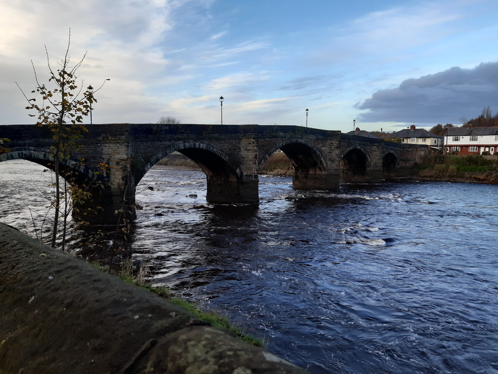
Crossing 7: Penwortham Old Bridge
The old bridge was built in 1759 - an earlier bridge built in 1755 only lasted a year. Today it is restricted to pedestrians and cyclists.
Crossing 8: West Lancashire Railway and Gas Pipeline
This bridge was opened in 1882 to carry the West Lancashire Railway from their station at the bottom of Fishergate Hill to Southport. The railway got bought out, and in 1902 passenger services stopped, trains going to Preston Station instead. Goods lasted until 1965, and the trackbed is long gone.
However, when Lostock Hall Gas Works was built, a gas line was laid that crossed the river using this bridge, and, although the gas works closed decades ago, the gas pipeline is still in use. The image below shows the pipeline as it underwent maintenance in the summer of 2021. The view is now restricted by the flood defences.
Crossing 9: North Union Railway
This bridge was built in 1838, by the North Union Railway, to connect Preston to Wigan. The line was originally two tracks, but the bridge was extends to take four tracks, I think around 1850, but cannot confirm. Later still this was increased to six tracks by the addition of an adjoining steel bridge, which is seen rather prominently in the image below.
I think the steel bridge section is rarely used, but the rest is part of the West Coast Main Line.
Crossing 10: East Lancashire Railway
This bridge was built in 1850 to allow the East Lancashire Railway to run trains from Blackburn and beyond into their own station, rather the using the North Union Railway's station, following a dispute between the two companies.
As part of the deal to be allowed to construct the bridge, the railway had to include a walkway for pedestrians, which ran along the east side of the bridge and to landscape what became Miller and Avenham parks, which it bisects.
The railway was closed in 1972, but the bridge can still be used by pedestrians and cyclists. You may notice the very high fencing on the west side; this was to discourage passengers attempting to leave the train as it waited for a free platform, and consequently plunging to their death!
The original bridge was iron arches; I think it was replaced around 1910, possibly retaining the original piers.Crossing 11: The Old Tramway
I have written about the Old Tramway on another site, so will not add much here. Until a couple of years ago, it was useable by pedestrians and cyclists, but was found to be unsafe, so is now closed. It is due to be replaced in the next year.
Crossing 12: London Road Bridge
This bridge carries one of the six primary roads in England, the A6. It was built in 1791, replacing an older bridge, and widened in the 1930s.
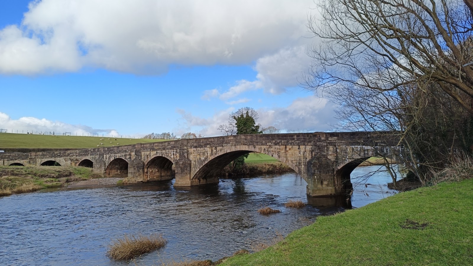
Crossing 13: Brockholes Bridge
It is about a mile and a half to the next bridge, the A59 as it head east out of Preston. A map in 1844 indicates this is wooden, so clearly the stone structure we now have is a more recent replacement; I suspect by 1890.
Crossing 14: M6 (x3)
Also known as the Preston by-pass, and having the distinction of being the first section of motorway in the country. There are actually three bridges, two for slip roads for junction 31 and one for the four-lane motorway.
Crossing 15: Pipeline
This is due north of Samlesbury, and is the Thirlmere aqueduct, bringing water from the Lake District to Manchester, and built between 1890 and 1925, transporting 11% of the northwest's water.
https://hidden-manchester.org.uk/waterways/thirlmere-aqueduct.html
There are no public rights of ways near this, so I will not be getting a photo of it.
Crossing 16: Ribchester Road
The B6245. It is about five miles as the crow flies to the next road bridge from the M6 - and rather more as the river meanders. It is at a little town called... Little Town, which is just east of Ribchester.
Crossing 17: Pipeline
This is due south of Hurst Green. I cannot see it in maps as recent as 1954, and cannot find anything about it.
Crossing 18: Pipeline
This is southeast of Hurst Green. A map from 1910 calls it an aqueduct, and it certainly looks like one. There are two pipes, and the boxes on top probably house values that can be used to removed trapped air.
Crossing 19: Mitton Bridge
The B6246. I have crossed it, but no photo yet!
Crossing 20: Pipeline
This is northwest of Barrow, and I think is the Haweswater Aqueduct, bringing water from the Lake District to Manchester, and built between 1935 and 1955.
https://hidden-manchester.org.uk/waterways/haweswater-aqueduct.html
Crossing 21: Edisford Bridge
The third B road to cross the Ribble, the B6243.
Crossing 22: Footbridge
This is west of Clitheroe. It looks like it was associated with Low Moor Mill, which was on the east bank of the river. Built of wood; I wonder how much is original. Still perfectly solid t walk over.
Crossing 23: West Bradford Road
The B4678. West Bradford is just west of Clitheroe, and no where near Bradford.
Crossing 24: East View Road
Is this a B road?
Crossing 25: Sawley Road
Is this a B road?
Crossing 26: Gisburn Road
Is this a B road? The building
Crossing 27: Neps Lane
Is this a B road?
Crossing 28: Hellifield Road
Is this a B road?
Crossing 29: Church Lane?
This is the B6478 (like crossing 23), just southwest of Long Preston. So both Long Preston and normal-sized Preston are on the Ribble.
Crossing 30: Railway
Crossing 31: A65
The A65 runs very straight beside the railway for someway here, and this bridge is next to the previous. This is the only bridge that carries an A road outside Preston.
Crossing 32: Station Road, Settle
Crossing 33: Footbridge, Settle
Crossing 34: Settle Bridge
A very attractive bridge, but a footbridge obscures it on one side, and trees on the other.


Comments
Post a Comment