Burnley
I visited Burnley primarily to see the canal. The Leeds-Liverpool Canal crosses the valley on an embankment that is over a kilometer long, and bifurcates the city. Imaginatively name Burnley Embankment, it was built between 1796 and 1801, rather than a flight of locks on both sides of the valley. This was the fourth route planned. The original route did not go through Burnley.
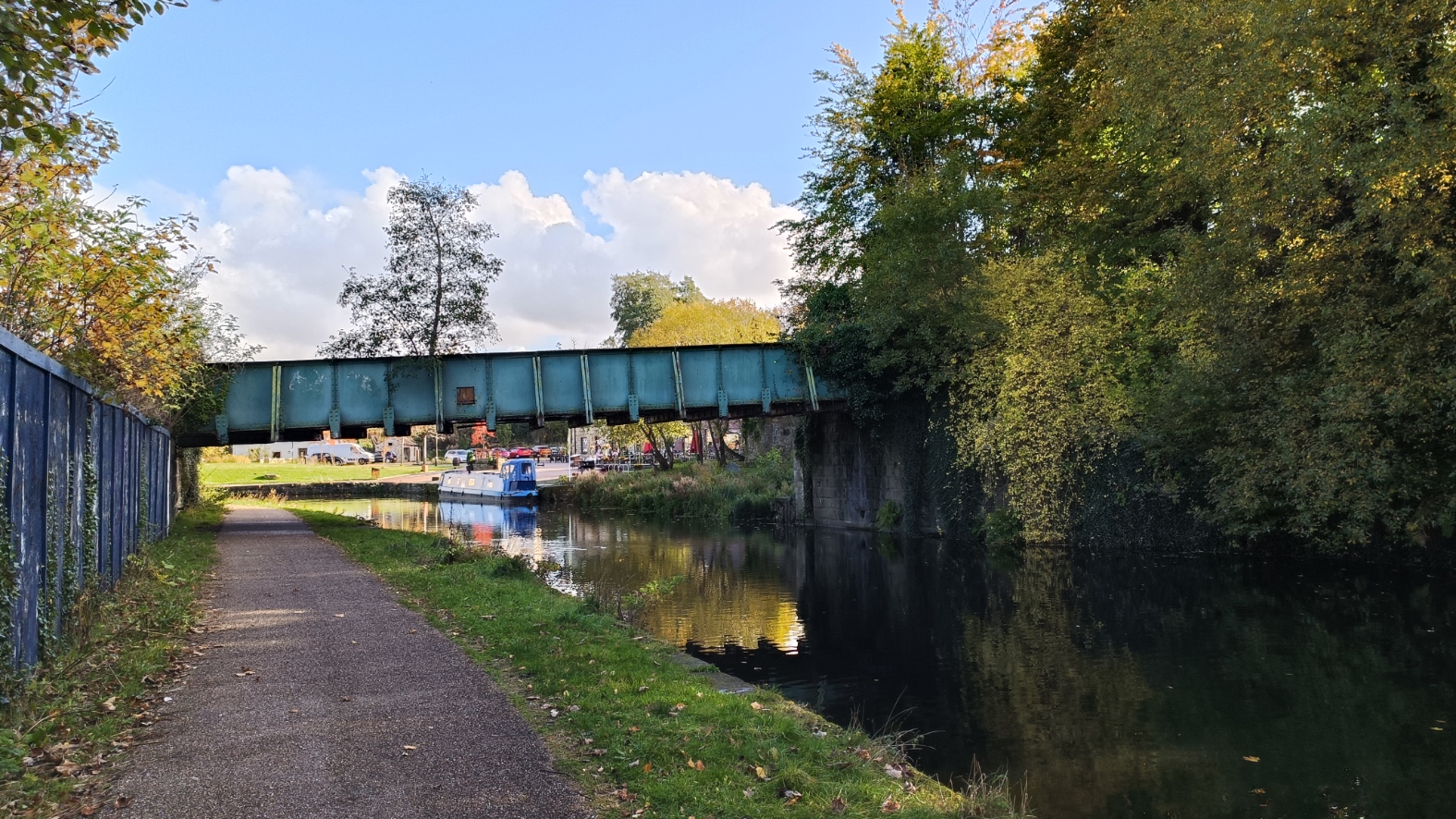
I started from Manchester Road. This is the view looking from the bridge in the direction of Liverpool.
I walked the other way, in the direction of Leeds, under the A682, to this foot bridge.
And on, passed an old mill.
Looking back in the other direction.
A mile post tells me how far to either end of the canal.
Through this bridge, you can see where the canal bends left to cross the valley.
Looking along the embankment, oddly straight for a canal.
If you look carefully, you can see Turfmoor on the other side.
In this one, if you look carefully, you can see two herons on the other side.
More or less in the centre of the embankment there is a bridge, or more specifically an aqueduct, taking the canal over Yorkshire Street, anomalously called the Culvert. This is the only way to get from one side to the other along the length of the canal.
This is it from the canal.
And the view from the aqueduct towards the centre of Burnley.
Looking back down the canal from the far end.
The first bridge on the other side, looking back.
At this point I came off the canal, into Thompson Park. Some views of the boating lake.
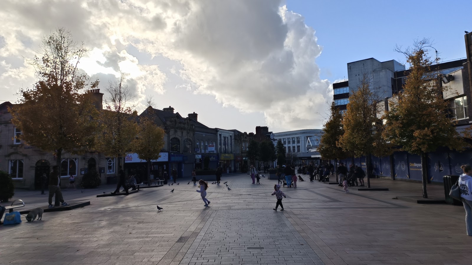
From the park, I walked back through the centre. It is nice, but does not stand out. It reminded me very much of Accrington.


Comments
Post a Comment