Skelmersdale
Skelmersdale - or Skem to the locals - is about 15 miles south of Preston, on the M58, a short spur off the M6. It was designated a "New Town" in the late sixties, and if that is conjuring up an image of the place in your head, you will not be too far off the mark! The older (pre-sixties) buildings are unremarkable, and the newer are worse...
However, it does have some positives. It is great for pedestrians, with vehicles largely kept away, and plenty of bridges to cross the roads when you have to, and while the housing estates are all dead ends for cars, there are lots of routes through if you are on foot. It also has a lot of greenery. Trees are scattered everywhere, and the town is bifurcated by a large park.
I parked near the library, and headed west, though said park, towards the oldest parts of the town. I did not venture inside the library, but it looked pretty smart from the outside.

There was quite a complex of modern buildings in the area, including the police station (the building left of the library), the "Concourse Shopping Centre" and an Asda. Not to my taste, so I went west, into the Tawd Valley Park.


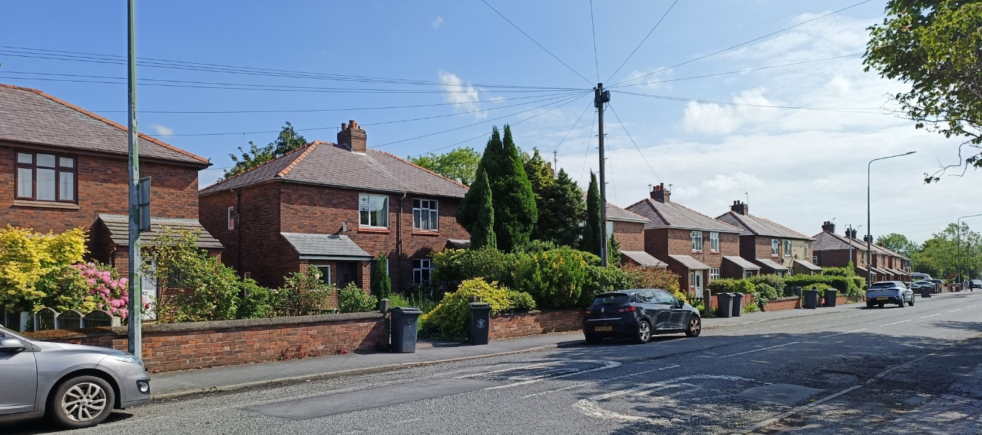
Passing under an A road, I landed in a housing estate.

It is apparent the designers made some effort, as there some interesting features. The garage-like buildings are, I think, small shops, and have a hexagonal floor plan.

The walls on the left have some interesting designs, and in the distance you can see a kind of bridge, which is actually a balcony, and certainly adds interest. But there are so few windows! And most opened directly onto the road, with no front garden at all.
Across the road from the estate is St Paul's Church.

It was built in 1903 to 1906, the previous building having suffered subsidence due to mining. There was a plan to build a tower, but that never happened.
I headed north, and then west along Kiln Lane, then down School Lane. There is another park of the corner of the two.

I did at last find some older houses - I was getting to the older part.
Okay, probably 1930s, so not that old, or especially interesting, but a sign I was going in the right direction.
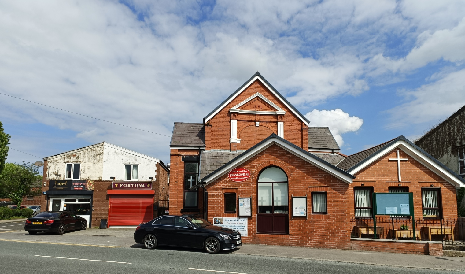
I turned into Clayton Street, and on the corner is the Bethel Independent Methodist Church. A singularly unimposing building that warrants hardly a mention on the internet.

Clayton Street features some older buildings, certainly pre-WW1, on the right side.

Clayton Street takes us to Sandy Lane, and at one time there was a townhall on the corner; you can see what it used to look like here. One fine building, and they knocked it down!
Just west of that is a roundabout. Skelmersdale had a railway that went from Rainhill to Ormskirk, originally for coal, but later passengers, and this run from south to north through where the roundabout is now. Indeed the road on the south side is called Railway Road. It closed in the sixties, a couple of years before the place was designated a New Town. All that is left of it now is the Railway Tavern - and that was slated to be demolished four years ago. It is still there at the moment.

More than can be said for Orm Mill, which used to stand behind it, and is now a pile of rubble...

It closed during the war, and was used to store munitions, so remarkable there is even that after all this time.
Back to Sandy Lane, and this really is the old part of the town. The Victoria Pub presumably dates from Victorian times...

And, well that was it. Further along is a shopping arcade, I think called Market Gate, that must have been built in the sixties. From the outside all you can see is the backs of the shops, it really makes no effort to appeal. The nearest building is a pub, called the Market Gate.

Inside is somewhat more pleasant, but it is open air, and nevertheless felt rather dark. And was not exactly thriving mid-morning on a Saturday.

The reason for that was apparent a bit further down Sandy Lane, a smart new Aldi, open longer hours, with more choice at lower prices.
Turning slightly left in the High Street, it is not a high street as I understand the term, with next-to-no shops. There is another Methodist church - High Street (Trinity).
Next door is a disused pub, the Village Inn.

A bit further along, I think this was also a pub - you can see where the sign was at the far right of the building.

On the other side in the Derby Arms - and as far as I can tell this one is still open.

Which is, I suppose, as good a high to end on as I will find!


Comments
Post a Comment