Leyland Road in Penwortham
The B5254 runs from Preston to Leyland. The north end is called Leyland Road, and the bit I am interested in is from the river down to Bee Lane. I have lived just off it for over twenty years in three different houses.
What I like about it is the cacophony of housing. It looks as though people built houses randomly along as the whim took them.
So I did some research to try to find out when each house was built. This is the result...


The Bridge used to be our local, and it was sad to see it close, though the arrival of children meant we had already stopped visiting it much.

There was a small factory behind here, on the left, which exploded in 1979, killing two people. I moved into a house about 100 m away in 1995, and it was quite a shock to recently learn about the accident so close in both space and time.


A bit further, and you can see where another railway bridge stood, built in 1900 to connect the Southport line to the L&Y station; it also closed in 1964. The abutment has gone, but the embankment is still there on the east side. There is an image of the bridge, with a train on it, here, well towards the bottom of the page. The fancy fish arch marks a path leading up to the top of the embankment.

More or less opposite is the fire station, an attractive building built in 1930.

And back on the east side, the Catholic church, built 1909 to 1917 with the adjoining school a short way up the side street. This is a place to avoid at throwing out time on a school day.
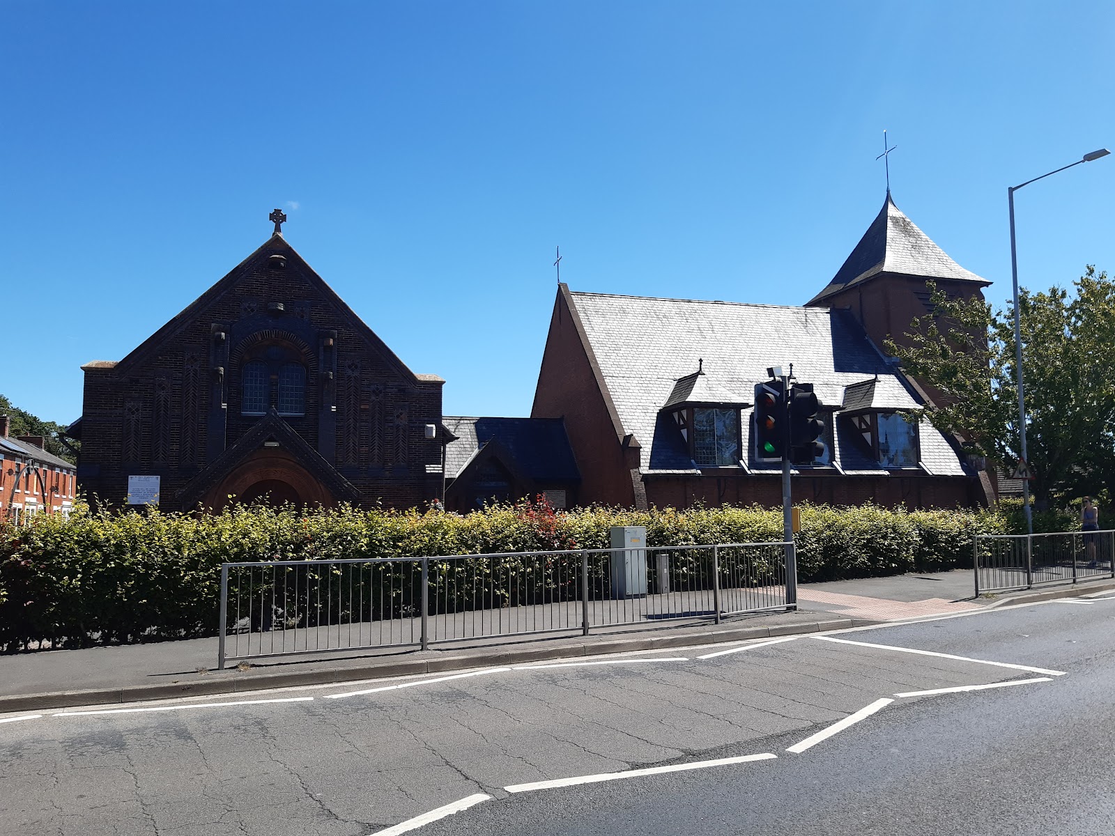
Just after the church was the workhouse, built 1796, converting to housing 1860s.
[awaiting image]
On the opposite side was the original Middleforth school, built 1891, but now demolished, and replaced by a home for the elderly.
Heading up the hill, there is Middleforth Green on the right, home to Lancashire's largest free fireworks display, and on the left the old Methodist church, built 1813, rebuilt 1833, and now a barber's shop. It is of such historical importance that it has a blue plaque! Nevertheless, it does not seem to be listed, and looks like it has been significantly modified.

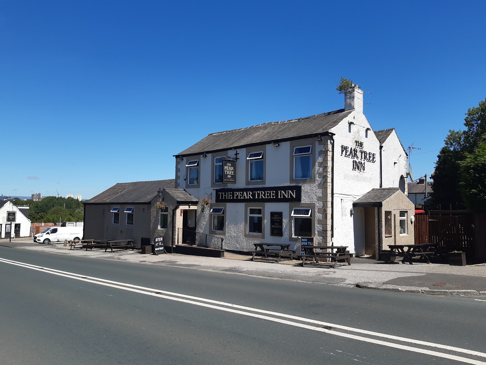
Just after is the Pear Tree, which was built as a small mill, but had become a pub by 1861.
The road crosses the West Coast Mainline at Skew Bridge.

There is a billboard here. Just before COVID lock-down, an advent for MacDonalds was put up, and it was there about a year. The red and yellow have faded completely to white - this is not a trick of the light.

The by-line felt quite ironic.

This terrace is of note just because it appears to have been built of three different bricks, the first three look to be high quality, the next four not quite so good, and the last house indistinct inferior brick. I wonder if they started at one end and money started to run out?


Comments
Post a Comment