Posts

Showing posts from February, 2025

Foulridge

Image
When the towns of Lancashire were being named, this is the one that overslept and was at the back of the queue... It is just north of Colne, about forty minutes east of Preston. Despite the name, it is a pretty village, with a lot of quirky streets and houses. South of the town are two reservoirs - Foulridge Upper Reservoir and Foulridge Lower Reservoir. The latter is also called Lake Burwain. The lower reservoir is older, and was built to supply the Leeds-Liverpool Canal. We start from the A56 as it passes between the reservoirs. This is the view looking west, down the lower reservoir. The other reservoir is above the level of the road, and all you can see from the road is the embankment. A path leads along side the lower reservoir, the Lake Burwain Greenway. Looking back up the reservoir. While you can circumnavigate the whole reservoir, we will go along Reedymoor Lane. The lane turns left and the right as it crosses the canal tunnel. This is where the Leeds-Liverpool canal crosses f...

Longton

Image
After the long trip to Kendal, this is a short 4 miles from home - though it still took over 30 minutes to get there! At one time it was on the road from Preston to Liverpool, though a bypass now takes the A59 well to the east of the village. The village has two clusters of shops, both on bends in the road. We start at the Preston end, which is the less attractive, and the Ram's Head, the least attractive pub in the village. Across Chapel Lane is Hopton's Tap House. And then over School Lane is st Andrew's Church, built in 1887, and replacing an earlier church built in 1772. The lands in the area were worked by monks from Penwortham Priory at one time, and they are thought to have built the first chapel, but its location is not known. There is a short row of shops opposite the church. And just beyond is Booths. About half way between the two clusters of shops in the Black Bull, dating from the early nineteenth century. And then we get the other shops, the first on the right...

Ribble at Clitheroe

Image
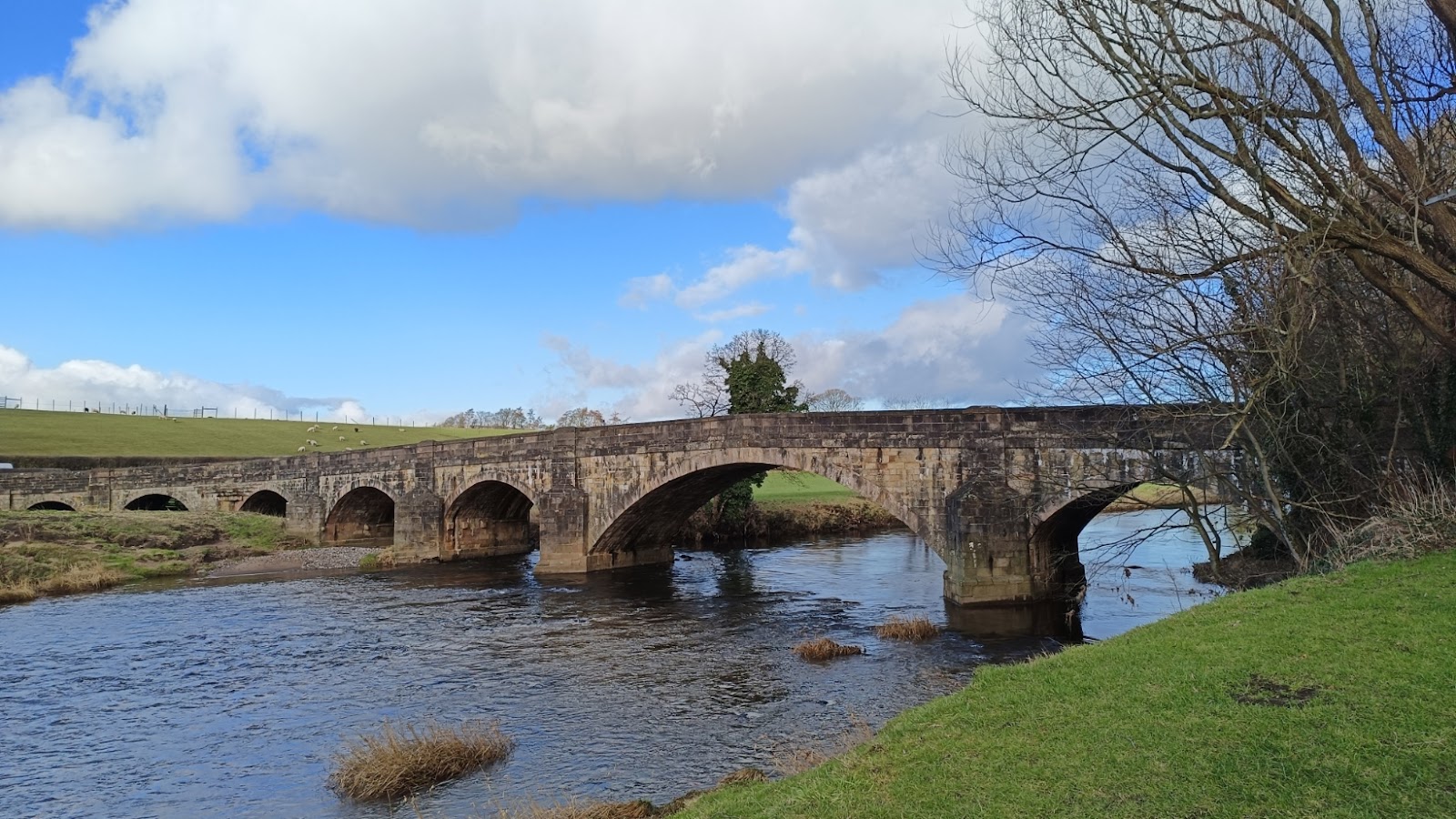
This was a pleasant walk taking about an hour. It starts from Edisford, where there is a convenient car park, just east of the river. This is the bridge at Edisford. Presumably there was a ford here originally. This is the main road west out of Clitheroe, going to... well, Longridge, maybe. There is not a lot that way! After crossing the bridge, we turned right, heading north, upriver. Looking back, you can see the bridge again. Shortly there is a second bridge. There was a mill on the other side, called Low Mill, and the footbridge I guess served that. The view from the bridge, looking down river. The mill is gone, but there is an eclectic mix of houses where it used to be, some presumably dating from that era. It is a bit of a wiggle through to get to Chapel Close, which then heads north, through farmland. We saw a donkey! This is looking over towards the Ribble. The first line of trees marks where the mill race used to be. Chapel Close becomes a track - a rather muddy one when we we...